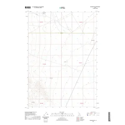
2020 Map of Richard Butte
USGS Topo · Published 2020About this map
Goddard Cem rests near the northern edge of this Idaho landscape, situated just below Tyler Canyon in the foothills of the Lemhi Range. The geography is defined by a transition from high ridges to volcanic features, most notably Lava Ridge which stretches across the central portion of the quadrangle. Drainages like Birch Cr and Kyle Canyon carve through the terrain, illustrating the hydrologic patterns of Butte and Clark Counties. The presence of Richard Butte to the northeast serves as a prominent landmark in an otherwise sparsely populated region. This 2020 survey documents the modern state of these public and private lands, showing the network of local roads including W Foothill Rd that provide access to these remote canyons and topographic rises.
Find a feature on this map
15 named features on this map. Tap any name to fly to it.
Don’t see what you’re looking for? This feature index may not catch every label — zoom into the map to look around manually.
Map Details
Editions of this 2020 Richard Butte Map
This is the sole edition of this map. No revisions or reprints were ever made.
Other maps of this area

1955 · Dubois
USGS Topo · 1:250,000

1955 · Idaho Falls
USGS Topo · 1:250,000

1958 · Dubois
USGS Topo · 1:250,000

1958 · Idaho Falls
USGS Topo · 1:250,000

1969 · Little Lost River Sinks
USGS Topo · 1:24,000

1969 · Circular Butte
USGS Topo · 1:24,000

1969 · Circular Butte NW
USGS Topo · 1:24,000

1969 · Eightmile Canyon
USGS Topo · 1:24,000

1969 · Richard Butte
USGS Topo · 1:24,000

1969 · Tyler Peak
USGS Topo · 1:24,000