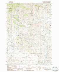
1986 Map of Richardson Summit
USGS Topo · Published 1986About this map
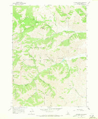
Prospects and a singular Mine Shaft dot the high drainages of the Idaho mountains in this mid-1980s provisional survey, indicating a landscape defined by historical mineral exploration. The terrain transitions from the rugged northern slopes of the Sawtooth National Forest near Kelly Mountain down toward the southern expanse of Camas Flats. Small settlements and landmarks like Doniphan and Richardson Summit serve as local anchors within a dense network of gulches and canyons. The naming of Hailey Gold Belt Gulch and Cinder Black Gulch reflects the geological and industrial character of the region. Drainage patterns are intricate, with Rock Creek and Croy Gulch carving out deep paths through the high-elevation flats and peaks, documenting the complex topography used by miners and ranchers alike during this era.
Find a feature on this map
29 named features on this map. Tap any name to fly to it.
Don’t see what you’re looking for? This feature index may not catch every label — zoom into the map to look around manually.
Map Details
Editions of this 1986 Richardson Summit Map
This is the sole edition of this map. No revisions or reprints were ever made.
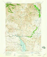
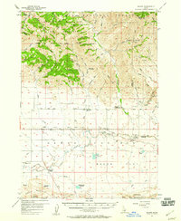
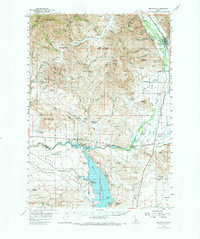
Other maps of this area

1895 · Hailey
USGS Topo · 1:125,000

1897 · Hailey
USGS Topo · 1:125,000

1900 · Sawtooth
USGS Topo · 1:125,000

1955 · Hailey
USGS Topo · 1:250,000
1957 · Bellevue
USGS Topo · 1:62,500
1957 · Blaine
USGS Topo · 1:62,500
1957 · Bellevue
USGS Topo · 1:24,000

1959 · Hailey
USGS Topo · 1:250,000

1962 · Hailey
USGS Topo · 1:250,000
1967 · Mahoney Butte
USGS Topo · 1:24,000