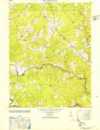
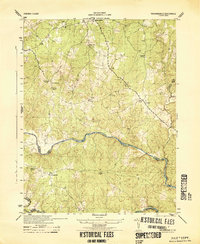
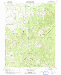
1953 Map of Richardsville
USGS Topo · Published 1953About this map
The Rappahannock River and Rapidan River converge in this mid-century survey, defining the rugged borders where Fauquier, Culpeper, and Stafford counties meet. The landscape is characterized by its high concentration of rural spiritual and civic centers, including Old School Church, Embrey Church, and Oakland Church near the settlement of Richardsville. Evidence of the local timber and milling economy is visible through multiple Sawmill locations and the Harding Mill along Deep Run.
Find a feature on this map
23 named features on this map. Tap any name to fly to it.
Don’t see what you’re looking for? This feature index may not catch every label — zoom into the map to look around manually.
Map Details
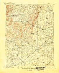
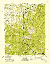
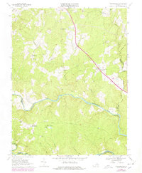
Editions of this 1953 Richardsville Map
This is the sole edition of this map. No revisions or reprints were ever made.
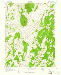
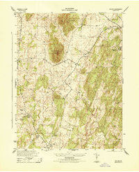
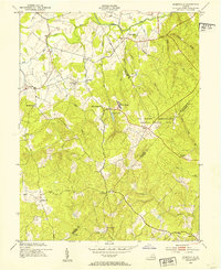
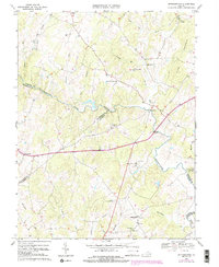
Historical Maps of Silver Hill Through Time
16 maps found
1894 Thorofare Gap
Fauquier County, VA
1943 Orlean
Fauquier County, VA
1944 Orlean
Fauquier County, VA
1944 Richardsville
Fauquier County, VA
1944 Somerville
Fauquier County, VA
1953 Richardsville
Fauquier County, VA
1953 Somerville
Fauquier County, VA
1966 Jeffersonton
Fauquier County, VA
1966 Somerville
Fauquier County, VA
1968 Richardsville
Fauquier County, VA
1970 Orlean
Fauquier County, VA
1998 Richardsville
Fauquier County, VA
2022 Jeffersonton
Fauquier County, VA
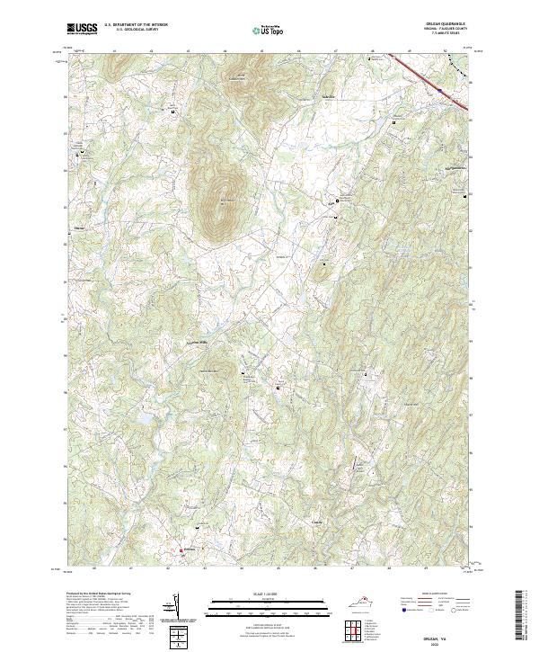
2022 Orlean
Fauquier County, VA
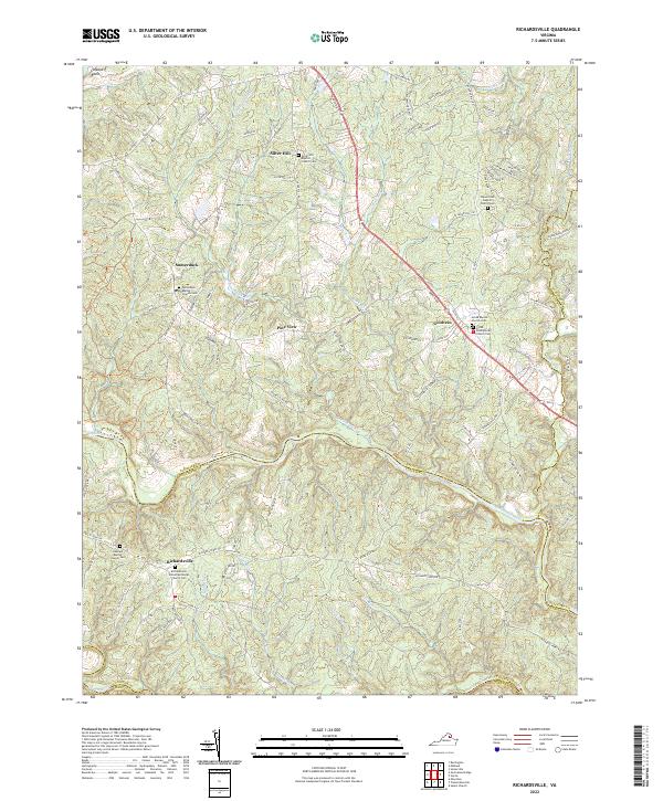
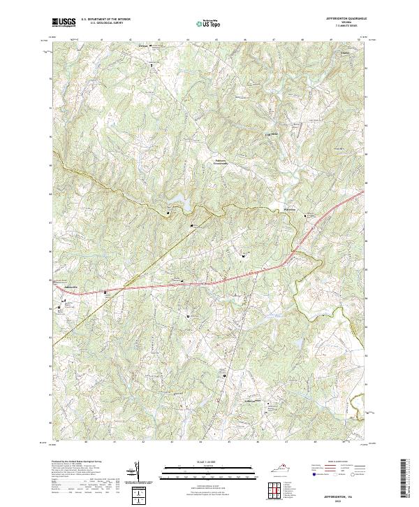
2022 Richardsville
Fauquier County, VA
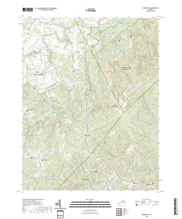
2022 Somerville
Fauquier County, VA