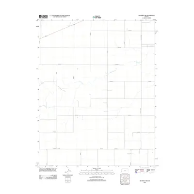
2012 Map of Richfield NW
USGS Topo · Published 2012About this map
Sand Arroyo Cr meanders across this rural expanse of Stanton County, defining the drainage patterns of an otherwise highly structured landscape. The terrain is dominated by the geometric precision of the Section Land Survey System, which is clearly delineated by an extensive network of range and township roads. This early 21st-century documentation illustrates the persistence of the traditional agrarian grid, where arterial routes like S Manter Grade and S Road X provide the primary infrastructure for the region. Notable east-west thoroughfares such as W Road 18 and W Road 25 intersect with localized paths like DD Blvd, showing the fine-grained access required for large-scale agricultural operations. The map captures the quiet intersection of natural watercourses and the human-imposed order of the High Plains.
Find a feature on this map
19 named features on this map. Tap any name to fly to it.
Don’t see what you’re looking for? This feature index may not catch every label — zoom into the map to look around manually.
Map Details
Editions of this 2012 Richfield NW Map
This is the sole edition of this map. No revisions or reprints were ever made.
Other maps of this area

1891 · Albany
USGS Topo · 1:125,000

1892 · Vilas
USGS Topo · 1:125,000

1893 · Albany
USGS Topo · 1:125,000

1900 · Syracuse
USGS Topo · 1:125,000

1920 · Syracuse
USGS Topo · 1:125,000

1955 · La Junta
USGS Topo · 1:250,000

1955 · Dodge City
USGS Topo · 1:250,000

1958 · La Junta
USGS Topo · 1:250,000

1958 · Dodge City
USGS Topo · 1:250,000

1959 · Dodge City
USGS Topo · 1:250,000