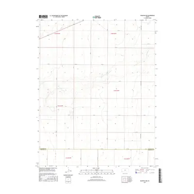
2015 Map of Richfield NW
USGS Topo · Published 2015About this map
Sand Arroyo Cr carves a subtle path through this High Plains landscape, reflecting the characteristic intermittent drainage patterns of western Kansas. This 2015 survey captures a highly organized section of the rural interior where the Public Land Survey System has dictated a rigid grid of agricultural access roads. The northern reach of Morton Co meets the southern boundary of Stanton Co along the line of DD Blvd and Rd DD, forming a significant geopolitical divide in an otherwise uniform terrain. Transportation across this expanse is defined by specialized routes like the S Manter Grade and a network of numeric and lettered roads, including W Rd 20 and S Rd X, which serve the expansive farming operations of the region.
Find a feature on this map
26 named features on this map. Tap any name to fly to it.
Don’t see what you’re looking for? This feature index may not catch every label — zoom into the map to look around manually.
Map Details
Editions of this 2015 Richfield NW Map
This is the sole edition of this map. No revisions or reprints were ever made.
Other maps of this area

1891 · Albany
USGS Topo · 1:125,000

1892 · Vilas
USGS Topo · 1:125,000

1893 · Albany
USGS Topo · 1:125,000

1900 · Syracuse
USGS Topo · 1:125,000

1920 · Syracuse
USGS Topo · 1:125,000

1955 · La Junta
USGS Topo · 1:250,000

1955 · Dodge City
USGS Topo · 1:250,000

1958 · La Junta
USGS Topo · 1:250,000

1958 · Dodge City
USGS Topo · 1:250,000

1959 · Dodge City
USGS Topo · 1:250,000