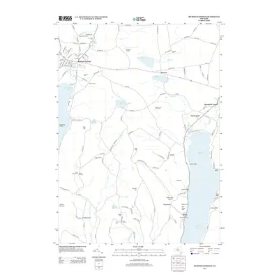
1945 Map of Richfield Springs
USGS Topo · Published 1945About this map
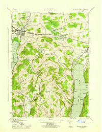
Richfield Springs sits as the central hub of this northern Otsego County landscape, serving as a primary rail point for the D L & W railroad and a crossing for the Cherry Valley Turnpike. The area's character is defined by its transition from the shores of Canadarago Lake in the west to the northern tip of Otsego Lake in the southeast. Numerous small district schools, such as School No 11 and the Thurston Hill School, alongside family-named landmarks like Rum Hill and Metcalf Hill, indicate a landscape of established rural neighborhoods and upland dairy farming during the mid-1940s. The terrain is marked by significant topographical features like Panther Mountain and the distinct Mohican Canyon, while the local cemetery record is well-preserved through sites like Lakeview Cem and Bloomfield Cem.
Find a feature on this map
58 named features on this map. Tap any name to fly to it.
Don’t see what you’re looking for? This feature index may not catch every label — zoom into the map to look around manually.
Map Details
Editions of this 1945 Richfield Springs Map
This is the sole edition of this map. No revisions or reprints were ever made.
Historical Maps of Otsego Through Time
8 maps found
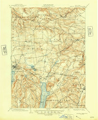
1903 Richfield Springs
Otsego County, NY
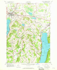
1943 Richfield Springs
Otsego County, NY
1945 Richfield Springs
Otsego County, NY
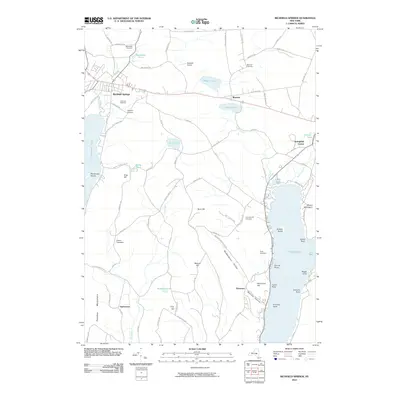
2010 Richfield Springs
Otsego County, NY
2013 Richfield Springs
Otsego County, NY
2016 Richfield Springs
Otsego County, NY
2019 Richfield Springs
Otsego County, NY

2023 Richfield Springs
Otsego County, NY