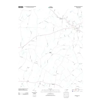
2013 Map of Richfield
USGS Topo · Published 2013About this map
Richfield and Misenheimer serve as the primary hubs in this Stanly County landscape, where the rural character is defined by a dense network of creeks and small airfields. Transport and local industry are highlighted by the presence of LZ Carroll Airport and Bear Creek Airport, while the legacy of earlier resource extraction is preserved in names like Old Mine Rd. The terrain is segmented by numerous waterways, including Big Bear Cr, Little Buffalo Cr, and Long Cr, which flow toward Ritchies Lake. Small communities such as Pauls Crossing, Millingport, and Finger dot the southern and central portions of the sheet, connected by roads that frequently take their names from local landmarks and family homesteads, such as Mattons Grove Church Rd and Saint Stephens Ch Rd.
Find a feature on this map
106 named features on this map. Tap any name to fly to it.
Don’t see what you’re looking for? This feature index may not catch every label — zoom into the map to look around manually.
Map Details
Editions of this 2013 Richfield Map
This is the sole edition of this map. No revisions or reprints were ever made.
Other maps of this area

1949 · High Rock
USGS Topo · 1:24,000

1953 · Charlotte
USGS Topo · 1:250,000

1954 · Charlotte
USGS Topo · 1:250,000

1957 · Mount Pleasant
USGS Topo · 1:62,500

1957 · Albemarle
USGS Topo · 1:62,500

1957 · Denton
USGS Topo · 1:62,500

1960 · Charlotte
USGS Topo · 1:250,000

1962 · Charlotte
USGS Topo · 1:250,000
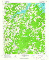
1962 · Gold Hill
USGS Topo · 1:24,000
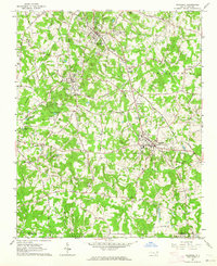
1962 · Rockwell
USGS Topo · 1:24,000