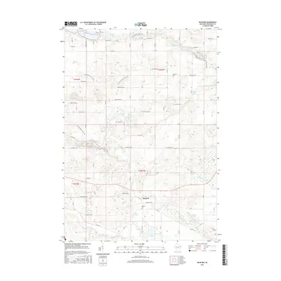
2015 Map of Richford
USGS Topo · Published 2015About this map
The Mecan River flows through this central Wisconsin landscape, emerging from the headwaters of Mecan Springs north of the settlement of Richford. This 2015 survey reveals a terrain defined by its glacial heritage, characterized by numerous small kettle lakes and ponds including Fish Lake, Lake Virginia, and Rogers Pond. The winding path of the Ice Age National Scenic Trail traverses the northern and western sections, following the moraine through the townships.
Find a feature on this map
76 named features on this map. Tap any name to fly to it.
Don’t see what you’re looking for? This feature index may not catch every label — zoom into the map to look around manually.
Map Details
Editions of this 2015 Richford Map
This is the sole edition of this map. No revisions or reprints were ever made.
Other maps of this area

1955 · Green Bay
USGS Topo · 1:250,000

1957 · Madison
USGS Topo · 1:250,000

1958 · Coloma
USGS Topo · 1:48,000

1959 · Wautoma
USGS Topo · 1:48,000

1960 · Madison
USGS Topo · 1:250,000

1961 · Oxford
USGS Topo · 1:62,500

1961 · Montello
USGS Topo · 1:62,500

1968 · Coloma
USGS Topo · 1:24,000

1968 · Richford
USGS Topo · 1:24,000

1968 · Plainfield
USGS Topo · 1:24,000