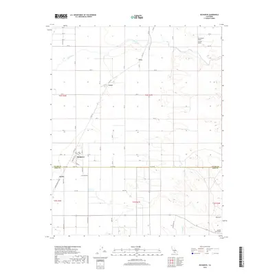
2018 Map of Richgrove
USGS Topo · Published 2018About this map
Richgrove sits at the heart of this agricultural landscape in the southern San Joaquin Valley, right where the boundary of Tulare and Kern counties divides the map. The area is defined by a dense grid of rural roads and avenues that serve the surrounding orchards and fields. Several smaller settlements and transit points are scattered throughout the quadrangle, including Quality to the southwest, Vestal near a railroad junction, and Orris further north along the Co Rte J35 corridor.
Find a feature on this map
89 named features on this map. Tap any name to fly to it.
Don’t see what you’re looking for? This feature index may not catch every label — zoom into the map to look around manually.
Map Details
Editions of this 2018 Richgrove Map
This is the sole edition of this map. No revisions or reprints were ever made.
Other maps of this area

1926 · Quincy School
USGS Topo · 1:31,680

1927 · McFarland
USGS Topo · 1:31,680

1929 · Delano
USGS Topo · 1:31,680

1929 · Sausalito School
USGS Topo · 1:31,680

1929 · Richgrove
USGS Topo · 1:31,680

1929 · Quincy School
USGS Topo · 1:31,680

1929 · Ducor
USGS Topo · 1:31,680

1930 · McFarland
USGS Topo · 1:31,680

1931 · Deepwell Ranch
USGS Topo · 1:31,680

1932 · Woody
USGS Topo · 1:62,500