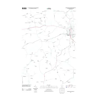
2013 Map of Richland Center
USGS Topo · Published 2013About this map
Richland Center serves as the primary hub of this landscape, situated at the confluence of the Pine River and Center Cr. The town's grid is dense with residential and commercial streets, including N Central Ave and W Seminary St, and is anchored by landmarks like the Roadrunner Gymnasium. Surrounding the town, the terrain is characterized by a sophisticated network of named agricultural homesteads and family farms, many of which reflect long-standing dairy traditions, such as the Collins Dairy and Stock Farm and the Oakview Stock Farm.
Find a feature on this map
127 named features on this map. Tap any name to fly to it.
Don’t see what you’re looking for? This feature index may not catch every label — zoom into the map to look around manually.
Map Details
Editions of this 2013 Richland Center Map
This is the sole edition of this map. No revisions or reprints were ever made.
Other maps of this area

1905 · Richland Center
USGS Topo · 1:125,000

1933 · Boaz
USGS Topo · 1:62,500

1933 · Boscobel
USGS Topo · 1:62,500

1958 · La Crosse
USGS Topo · 1:250,000

1960 · Richland Center
USGS Topo · 1:62,500

1960 · Muscoda
USGS Topo · 1:62,500

1961 · La Crosse
USGS Topo · 1:250,000

1965 · La Crosse
USGS Topo · 1:250,000

1966 · Boaz
USGS Topo · 1:62,500
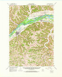
1967 · Boscobel
USGS Topo · 1:62,500