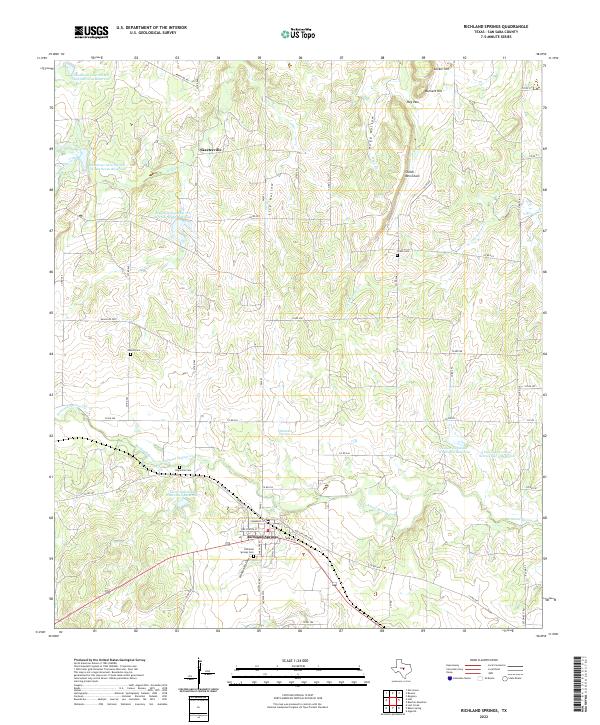
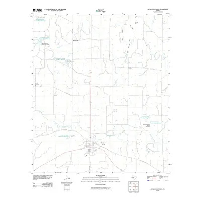
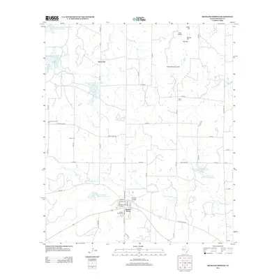
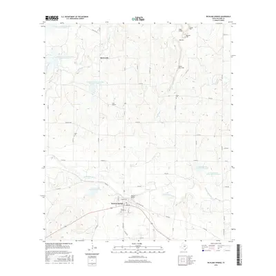
2022 Map of Richland Springs
USGS Topo · Published 2022About this map
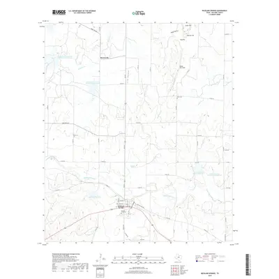
Richland Springs serves as the hub of this Central Texas landscape, where the street grid converges at the intersection of Old San Saba HWY and Park Ave. The map reveals a community deeply rooted in its local history, evidenced by the numerous burial grounds scattered across the terrain, including Richland Springs Cem, Big Uncle Cem, Shiloh Cem, and Adams Cem. The northern reach of the township gives way to a rugged series of hollows and elevations, most notably the Shiloh Mtn Chain, Barnett Hill, and Locker Hill, which provide a distinct verticality to the landscape.
Find a feature on this map
59 named features on this map. Tap any name to fly to it.
Don’t see what you’re looking for? This feature index may not catch every label — zoom into the map to look around manually.
Map Details
Editions of this 2022 Richland Springs Map
This is the sole edition of this map. No revisions or reprints were ever made.
Historical Maps of Richland Springs Through Time
9 maps found
1930 Richland Springs
San Saba County, TX
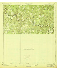
1948 Richland Springs
San Saba County, TX
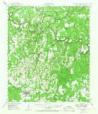
1950 Richland Springs
San Saba County, TX
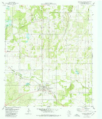
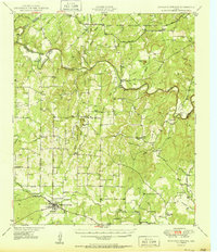
1979 Richland Springs
San Saba County, TX
2010 Richland Springs
San Saba County, TX
2012 Richland Springs
San Saba County, TX
2016 Richland Springs
San Saba County, TX
2019 Richland Springs
San Saba County, TX
2022 Richland Springs
San Saba County, TX