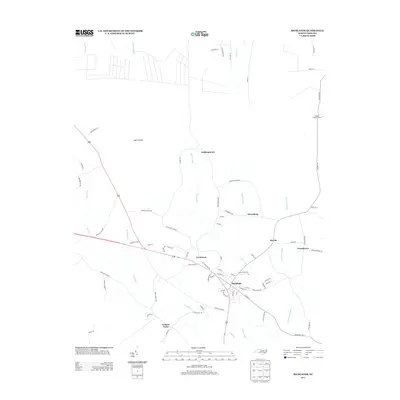
2013 Map of Richlands
USGS Topo · Published 2013About this map
Richlands serves as the central hub of this eastern North Carolina landscape, where a dense network of residential streets meets the winding path of the New River. The surrounding terrain is defined by its coastal wetlands and drainage patterns, most notably the expansive Hell Pocosin to the northwest and several significant tributaries including Mill Swamp and Jenkins Swamp. This 2013 survey illustrates how established local settlements like Huffmantown, Petersburg, and Ervintown are tied together by a complex system of rural roads and highways.
Find a feature on this map
78 named features on this map. Tap any name to fly to it.
Don’t see what you’re looking for? This feature index may not catch every label — zoom into the map to look around manually.
Map Details
Editions of this 2013 Richlands Map
This is the sole edition of this map. No revisions or reprints were ever made.
Other maps of this area

1903 · Trent River
USGS Topo · 1:62,500

1904 · Trent River
USGS Topo · 1:62,500

1943 · Jacksonville
USGS Topo · 1:62,500

1948 · Richlands
USGS Topo · 1:62,500

1953 · Rocky Mount
USGS Topo · 1:250,000

1953 · Beaufort
USGS Topo · 1:250,000

1954 · Rocky Mount
USGS Topo · 1:250,000

1954 · Beaufort
USGS Topo · 1:250,000

1958 · Deep Run
USGS Topo · 1:62,500

1965 · Richlands
USGS Topo · 1:62,500