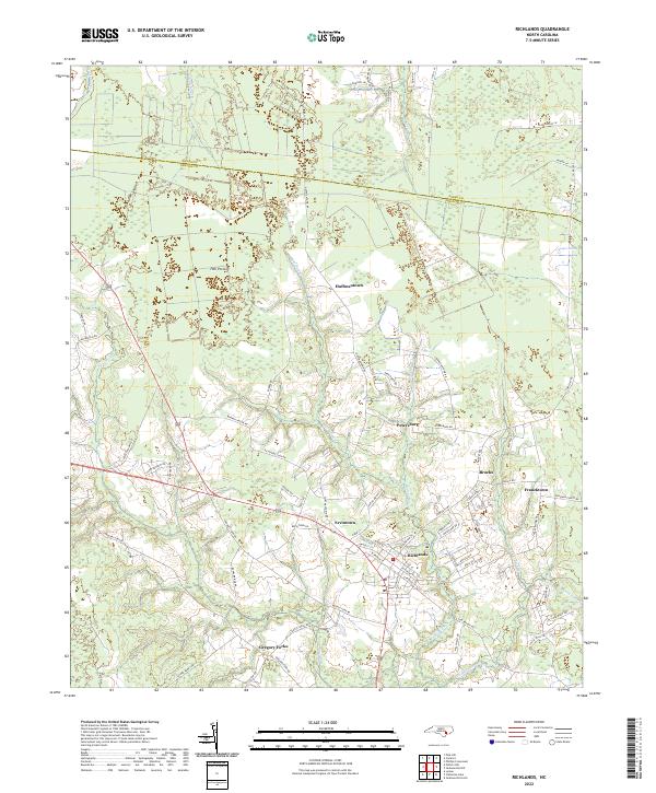
2022 Map of Richlands
USGS Topo · Published 2022About this map
The Richlands area of eastern North Carolina is defined by a landscape where low-lying wetlands and sluggish watercourses dictate the pattern of settlement. Streams such as Squires Run and Mill Swamp drain toward the New River, which cuts through the western portion of the quadrangle. The terrain is notably marked by Hell Pocosin, a characteristic wetland feature of the coastal plain that has historically influenced road placement and land use.
Find a feature on this map
80 named features on this map. Tap any name to fly to it.
Don’t see what you’re looking for? This feature index may not catch every label — zoom into the map to look around manually.
Map Details
Editions of this 2022 Richlands Map
This is the sole edition of this map. No revisions or reprints were ever made.
Other maps of this area

1903 · Trent River
USGS Topo · 1:62,500

1904 · Trent River
USGS Topo · 1:62,500

1943 · Jacksonville
USGS Topo · 1:62,500

1948 · Richlands
USGS Topo · 1:62,500

1953 · Rocky Mount
USGS Topo · 1:250,000

1953 · Beaufort
USGS Topo · 1:250,000

1954 · Rocky Mount
USGS Topo · 1:250,000

1954 · Beaufort
USGS Topo · 1:250,000

1958 · Deep Run
USGS Topo · 1:62,500

1965 · Richlands
USGS Topo · 1:62,500