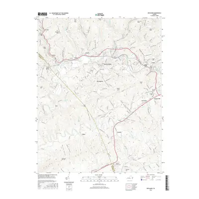
2016 Map of Richlands
USGS Topo · Published 2016About this map
The Clinch River carves a deep path through Tazewell County, anchoring a corridor of historic coal-country settlements including Richlands, Cedar Bluff, and Doran. This 2016 survey highlights the dense concentration of cemeteries and memorials that define the local genealogy, such as Clinch Valley Memorial Cem and Green Hills Memorial Gardens. The landscape is dominated by the ridges and hollows characteristic of the Appalachian Plateau, with the Norfolk Southern railroad line tracing the river valley to serve the regional industrial base.
Find a feature on this map
78 named features on this map. Tap any name to fly to it.
Don’t see what you’re looking for? This feature index may not catch every label — zoom into the map to look around manually.
Map Details
Editions of this 2016 Richlands Map
This is the sole edition of this map. No revisions or reprints were ever made.
Other maps of this area

1891 · Tazewell
USGS Topo · 1:125,000

1891 · Abingdon
USGS Topo · 1:125,000

1894 · Abingdon
USGS Topo · 1:125,000

1895 · Tazewell
USGS Topo · 1:125,000

1897 · Tazewell
USGS Topo · 1:125,000

1909 · Abingdon
USGS Topo · 1:96,000

1911 · Abingdon
USGS Topo · 1:125,000

1912 · Pounding Mill
USGS Topo · 1:62,500

1915 · Richlands
USGS Topo · 1:48,000

1916 · Pounding Mill
USGS Topo · 1:62,500