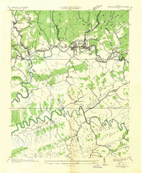
1935 Map of Richlands
USGS Topo · Published 1935About this map
The Clinch River carves a central path through this mid-1930s landscape, dictating the development of industrial and residential hubs like Richlands and Cedar Bluff. The influence of the Norfolk and Western Railway is evident as it follows the river valley, serving a network of coal and manufacturing interests. Industry is further highlighted by the Premier Coal Corporation Camp in the northwest and specialized sites such as a Brick Kiln and Clay Pit near the riverbanks.
Find a feature on this map
71 named features on this map. Tap any name to fly to it.
Don’t see what you’re looking for? This feature index may not catch every label — zoom into the map to look around manually.
Map Details
Editions of this 1935 Richlands Map
This is the sole edition of this map. No revisions or reprints were ever made.
Other maps of this area

1891 · Tazewell
USGS Topo · 1:125,000

1891 · Abingdon
USGS Topo · 1:125,000

1894 · Abingdon
USGS Topo · 1:125,000

1895 · Tazewell
USGS Topo · 1:125,000

1897 · Tazewell
USGS Topo · 1:125,000
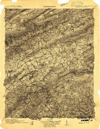
1909 · Abingdon
USGS Topo · 1:96,000
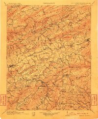
1911 · Abingdon
USGS Topo · 1:125,000
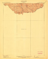
1912 · Pounding Mill
USGS Topo · 1:62,500
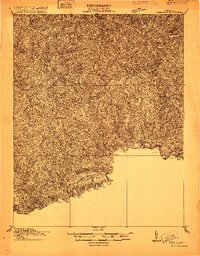
1915 · Richlands
USGS Topo · 1:48,000
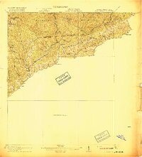
1916 · Pounding Mill
USGS Topo · 1:62,500