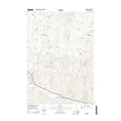
2015 Map of Richmond
USGS Topo · Published 2015About this map
The Winooski River carves a deep path through the southern reaches of this Chittenden County landscape, framing the valley settlements of Richmond and Jonesville. To the north, the terrain rises sharply into the Green Mountains, where the peaks of Stimson Mtn and Mayers Dome overlook a series of tight hollows and ridges. This modern survey illustrates the persistent importance of early crossroads like Jericho Center and Nashville, connected by a network of winding roads such as Brown's Trace Rd. Small community landmarks are well-preserved, from the Edmond Bridge crossing the river to several burial grounds including West Bolton Cem and Saint Marys Cem. The map also captures the local transition from the riverbanks to higher pastures at Marr Flat and Underhill Center, alongside the small Meadow Airport near West Bolton.
Find a feature on this map
81 named features on this map. Tap any name to fly to it.
Don’t see what you’re looking for? This feature index may not catch every label — zoom into the map to look around manually.
Map Details
Editions of this 2015 Richmond Map
This is the sole edition of this map. No revisions or reprints were ever made.
Other maps of this area

1906 · Burlington
USGS Topo · 1:62,500

1913 · Milton
USGS Topo · 1:48,000

1915 · Milton
USGS Topo · 1:62,500

1919 · Burlington
USGS Topo · 1:62,500

1921 · Richmond
USGS Topo · 1:48,000

1924 · Camels Hump
USGS Topo · 1:62,500

1925 · Mount Mansfield
USGS Topo · 1:48,000

1927 · Mount Mansfield
USGS Topo · 1:62,500

1944 · Milton
USGS Topo · 1:62,500

1944 · Mount Mansfield
USGS Topo · 1:62,500