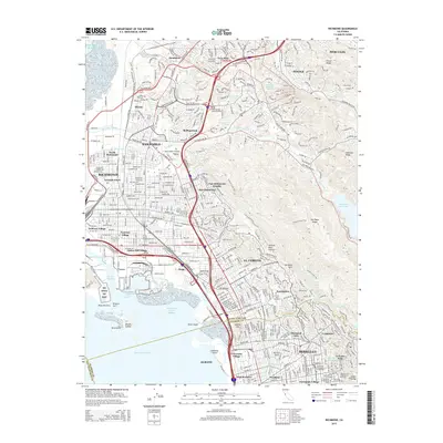
2015 Map of Richmond
USGS Topo · Published 2015About this map
The urban corridor of Richmond and Berkeley is captured here during a period of modern infill and preservation, showcasing the complex interface between the East Bay shoreline and the Berkeley Hills. The map details the industrial legacy of the waterfront, notably the Rr Wwii Hf Nhp area near the Richmond Inner Harbor, while documenting the established residential character of neighborhoods like Atchison Village and Thousand Oaks.
Find a feature on this map
85 named features on this map. Tap any name to fly to it.
Don’t see what you’re looking for? This feature index may not catch every label — zoom into the map to look around manually.
Map Details
Editions of this 2015 Richmond Map
This is the sole edition of this map. No revisions or reprints were ever made.
Other maps of this area

1895 · San Francisco
USGS Topo · 1:62,500

1896 · Carquinez Strait
USGS Topo · 1:62,500

1897 · Concord
USGS Topo · 1:62,500

1898 · Karquines
USGS Topo · 1:62,500

1899 · San Francisco
USGS Topo · 1:62,500
1901 · Karquines
USGS Topo · 1:62,500

1902 · Napa
USGS Topo · 1:125,000
1915 · Concord
USGS Topo · 1:62,500
1915 · San Francisco
USGS Topo · 1:62,500
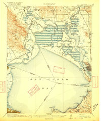
1916 · Mare Island
USGS Topo · 1:62,500