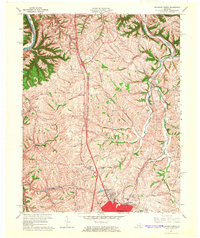
1965 Map of Richmond North
USGS Topo · Published 1966About this map
White Hall State Shrine and the surrounding agricultural landscape of northern Madison County define this mid-1960s study. The terrain is deeply etched by the Kentucky River and the meandering path of Otter Creek, which flows past the Otter Creek Ch in the northeast. This era shows the expansion of northern Richmond, with new developments appearing near Arlington and the Madison Country Club.
Find a feature on this map
28 named features on this map. Tap any name to fly to it.
Don’t see what you’re looking for? This feature index may not catch every label — zoom into the map to look around manually.
Map Details
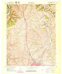
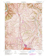
Editions of this 1965 Richmond North Map
3 editions found
Other maps of this area

1892 · Richmond
USGS Topo · 1:125,000

1897 · Richmond
USGS Topo · 1:125,000

1952 · Valley View
USGS Topo · 1:24,000

1952 · Union City
USGS Topo · 1:24,000

1952 · Coletown
USGS Topo · 1:24,000

1952 · Kirksville
USGS Topo · 1:24,000

1952 · Ford
USGS Topo · 1:24,000

1952 · Winchester
USGS Topo · 1:24,000

1952 · Richmond North
USGS Topo · 1:24,000

1952 · Moberly
USGS Topo · 1:24,000