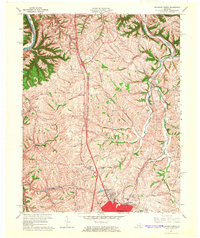
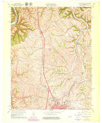
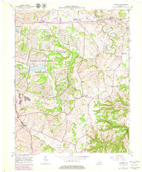
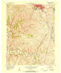
1965 Map of Richmond North
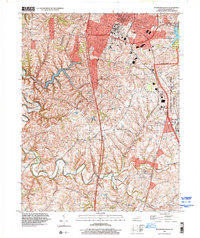
USGS Topo · Published 1966This historical map portrays the area of Richmond North in 1965, primarily covering Madison County as well as portions of Fayette County. Featuring a scale of 1:24000, this map provides a highly detailed snapshot of the terrain, roads, buildings, counties, and historical landmarks in the Richmond North region at the time. Published in 1966, it is one of 3 known editions of this map due to revisions or reprints.
Find a feature on this map
28 named features on this map. Tap any name to fly to it.
Don’t see what you’re looking for? This feature index may not catch every label — zoom into the map to look around manually.
Map Details
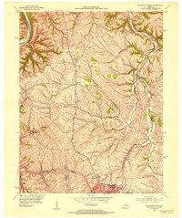
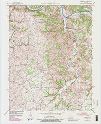
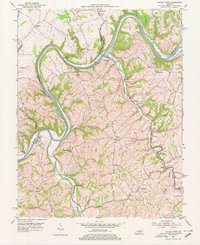
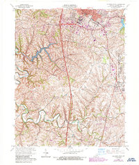
Editions of this 1965 Richmond North Map
3 editions found
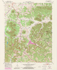
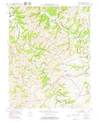
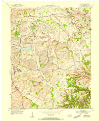
Historical Maps of Blue Grass Through Time
11 maps found
1952 Bighill
Madison County, KY
1952 Kirksville
Madison County, KY
1952 Moberly
Madison County, KY
1952 Richmond North
Madison County, KY
1952 Union City
Madison County, KY
1952 Valley View
Madison County, KY
1953 Richmond South
Madison County, KY
1954 Moberly
Madison County, KY
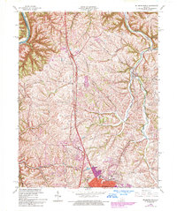
1965 Richmond North
Madison County, KY
1965 Richmond South
Madison County, KY
1997 Richmond South
Madison County, KY