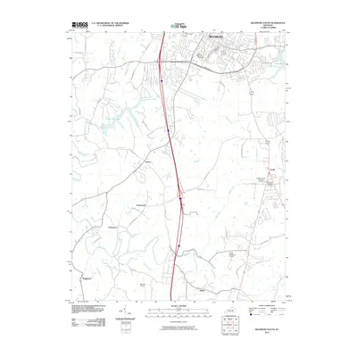
2010 Map of Richmond South
USGS Topo · Published 2010About this map
Eastern Kentucky University anchors the northern landscape of this Madison County region, where the urban sprawl of Richmond meets the central Kentucky hills. The suburban and rural landscape is defined by a network of waterways including Silver Creek, Taylor Fork, and Harts Fork, which carve through the terrain south of the Eastern Bypass. Historically significant clusters like Peytontown, Caleast, and Buggytown dot the countryside, connected by established routes such as Curtis Pike and Hagan Mill Rd. The presence of the Berea-Richmond Airport and Madison Airport reflects the mid-century transition toward modern aviation infrastructure. For genealogists and local historians, the inclusion of Madison County Memorial Gardens and Blue Grass Memorial Cemetery near Terrill provides essential spatial context for family heritage research in this part of the Bluegrass State.
Find a feature on this map
52 named features on this map. Tap any name to fly to it.
Don’t see what you’re looking for? This feature index may not catch every label — zoom into the map to look around manually.
Map Details
Editions of this 2010 Richmond South Map
This is the sole edition of this map. No revisions or reprints were ever made.
Other maps of this area

1892 · Richmond
USGS Topo · 1:125,000

1897 · Richmond
USGS Topo · 1:125,000

1952 · Berea
USGS Topo · 1:24,000

1952 · Valley View
USGS Topo · 1:24,000

1952 · Union City
USGS Topo · 1:24,000

1952 · Paint Lick
USGS Topo · 1:24,000

1952 · Kirksville
USGS Topo · 1:24,000

1952 · Richmond North
USGS Topo · 1:24,000

1952 · Bighill
USGS Topo · 1:24,000

1952 · Moberly
USGS Topo · 1:24,000