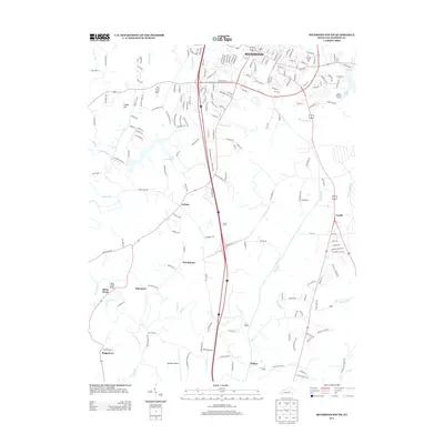
2013 Map of Richmond South
USGS Topo · Published 2013About this map
Richmond anchors the northern reaches of this Madison County survey, where urban expansion meets the agricultural landscape of central Kentucky. The southern outskirts of the city transition into a network of small, scattered settlements including Caleast, Peytontown, and Duncanon. The terrain is defined by the drainage of Silver Cr and its many tributaries like Vaughn Br and Ballard Br, which historically dictated the placement of early homesteads and road crossings. Significant infrastructure such as the Madison Airport and the recreational waters of Lake Reba and Taylor Fork Lake illustrate the 21st-century development of the region. Local transit is traced through a dense grid of named pikes and lanes, including Crutcher Pike and Hagan Mill Rd, reflecting the deep-rooted importance of these corridors for connecting the outlying communities of Whites and Buggytown to the county seat.
Find a feature on this map
204 named features on this map. Tap any name to fly to it.
Don’t see what you’re looking for? This feature index may not catch every label — zoom into the map to look around manually.
Map Details
Editions of this 2013 Richmond South Map
This is the sole edition of this map. No revisions or reprints were ever made.
Other maps of this area

1892 · Richmond
USGS Topo · 1:125,000

1897 · Richmond
USGS Topo · 1:125,000

1952 · Berea
USGS Topo · 1:24,000

1952 · Valley View
USGS Topo · 1:24,000

1952 · Union City
USGS Topo · 1:24,000

1952 · Paint Lick
USGS Topo · 1:24,000

1952 · Kirksville
USGS Topo · 1:24,000

1952 · Richmond North
USGS Topo · 1:24,000

1952 · Bighill
USGS Topo · 1:24,000

1952 · Moberly
USGS Topo · 1:24,000