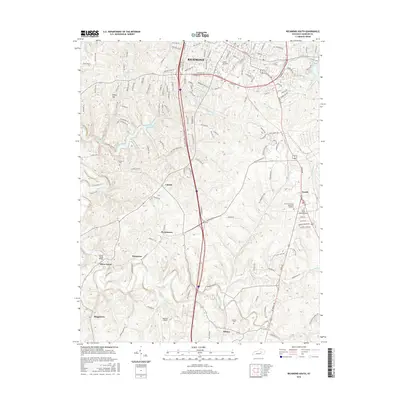
2016 Map of Richmond South
USGS Topo · Published 2016About this map
Eastern Kentucky University anchors the northern portion of this Madison County landscape, where the southern reaches of Richmond meet the rural expanses of the Bluegrass region. The transition from academic and suburban development to agricultural land is marked by numerous small settlements and family-named landmarks. Waterways like Silver Creek, Taylor Fork, and Pumpkin Run dissect the terrain, influencing the placement of early road networks such as Crutcher Pike. Local history is preserved in small burial grounds including Haines Cemetery and Cochran Cemetery, as well as established communities like Peytontown, Caleast, and Buggytown. Transport and utility are central to the area's layout, evidenced by the presence of Madison Airport and the Silver Creek Bridge, which connect these dispersed settlements to the larger regional infrastructure.
Find a feature on this map
147 named features on this map. Tap any name to fly to it.
Don’t see what you’re looking for? This feature index may not catch every label — zoom into the map to look around manually.
Map Details
Editions of this 2016 Richmond South Map
This is the sole edition of this map. No revisions or reprints were ever made.
Other maps of this area

1892 · Richmond
USGS Topo · 1:125,000

1897 · Richmond
USGS Topo · 1:125,000

1952 · Berea
USGS Topo · 1:24,000

1952 · Valley View
USGS Topo · 1:24,000

1952 · Union City
USGS Topo · 1:24,000

1952 · Paint Lick
USGS Topo · 1:24,000

1952 · Kirksville
USGS Topo · 1:24,000

1952 · Richmond North
USGS Topo · 1:24,000

1952 · Bighill
USGS Topo · 1:24,000

1952 · Moberly
USGS Topo · 1:24,000