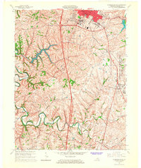
1965 Map of Richmond South
USGS Topo · Published 1967About this map
Eastern Kentucky University and the southern expansion of Richmond anchor this mid-1960s landscape, where urban institutional growth meets the winding drainage of Silver Creek. The map documents a critical period for the Lexington-Blue Grass Army Depot, which occupies a large tract on the eastern edge of the quadrangle. Outside the city center, a network of rural settlements and family-named roads like Barnes Mill Road and Hagans Mill Road reveal a long-established agricultural community.
Find a feature on this map
39 named features on this map. Tap any name to fly to it.
Don’t see what you’re looking for? This feature index may not catch every label — zoom into the map to look around manually.
Map Details
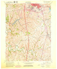
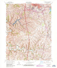
Editions of this 1965 Richmond South Map
3 editions found
Other maps of this area

1892 · Richmond
USGS Topo · 1:125,000

1897 · Richmond
USGS Topo · 1:125,000

1952 · Berea
USGS Topo · 1:24,000

1952 · Valley View
USGS Topo · 1:24,000

1952 · Union City
USGS Topo · 1:24,000

1952 · Paint Lick
USGS Topo · 1:24,000

1952 · Kirksville
USGS Topo · 1:24,000

1952 · Richmond North
USGS Topo · 1:24,000

1952 · Bighill
USGS Topo · 1:24,000

1952 · Moberly
USGS Topo · 1:24,000