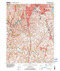
1997 Map of Richmond South
USGS Topo · Published 2000About this map
The southern periphery of Richmond dominates the northern edge of this Madison County survey, centering on the sprawling campus of Eastern Kentucky University. The landscape shifts from the academic and residential blocks of the city into a patchwork of rural hamlets and agricultural lands to the south. Distinctive settlements such as Paytontown, Buggytown, and Duncanon appear along the rolling drainage of Silver Creek. To the east, the massive footprint of the Lexington-Blue Grass Army Depot marks a significant military presence, bordered by the CSX Transportation rail line.
Find a feature on this map
42 named features on this map. Tap any name to fly to it.
Don’t see what you’re looking for? This feature index may not catch every label — zoom into the map to look around manually.
Map Details
Editions of this 1997 Richmond South Map
This is the sole edition of this map. No revisions or reprints were ever made.
Other maps of this area

1892 · Richmond
USGS Topo · 1:125,000

1897 · Richmond
USGS Topo · 1:125,000

1952 · Berea
USGS Topo · 1:24,000

1952 · Valley View
USGS Topo · 1:24,000

1952 · Union City
USGS Topo · 1:24,000

1952 · Paint Lick
USGS Topo · 1:24,000

1952 · Kirksville
USGS Topo · 1:24,000

1952 · Richmond North
USGS Topo · 1:24,000

1952 · Bighill
USGS Topo · 1:24,000

1952 · Moberly
USGS Topo · 1:24,000