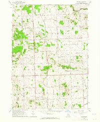
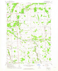
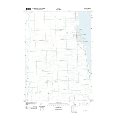
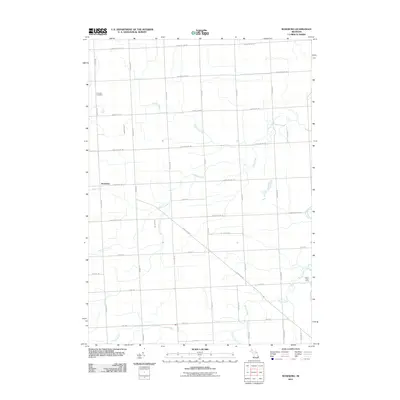
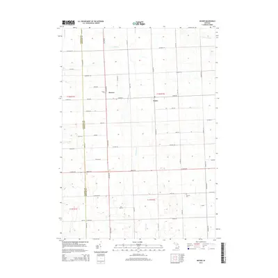
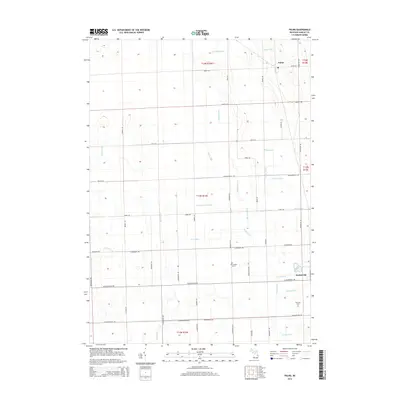
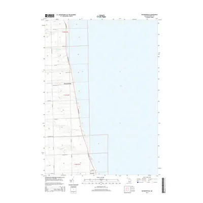
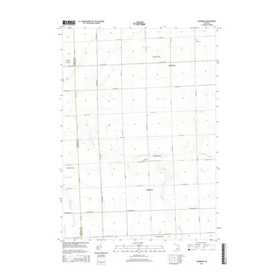
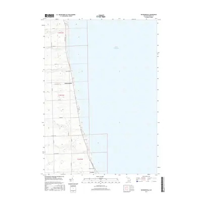
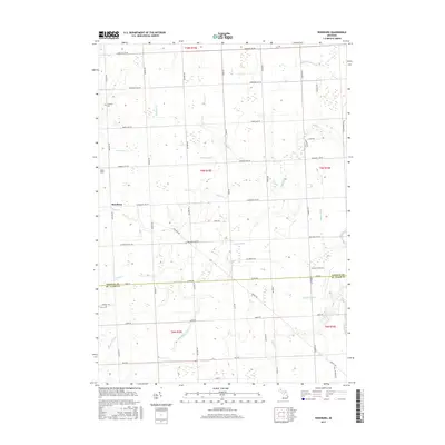
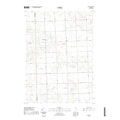
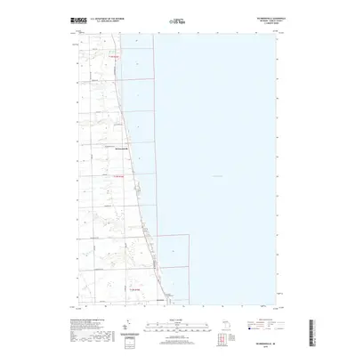
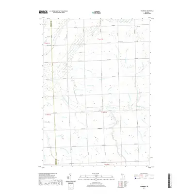
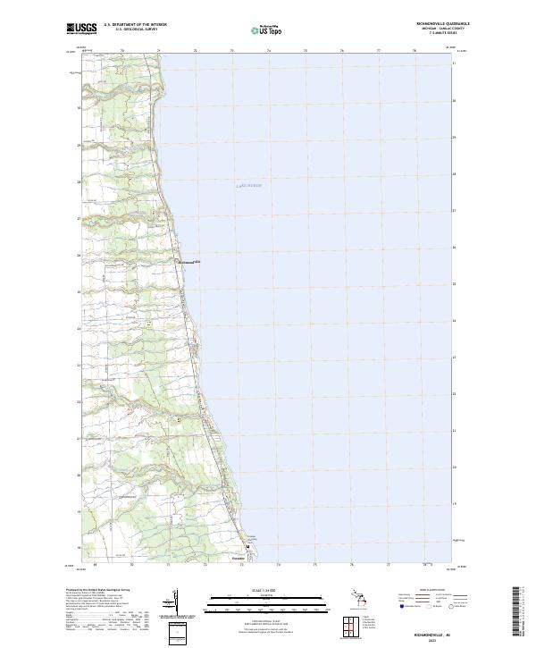
1963 Map of Richmondville
USGS Topo · Published 1964About this map
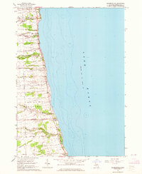
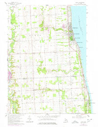
The coastal settlements of Richmondville and Forester anchor this 1963 survey of the Michigan shoreline along Lake Huron. The landscape is defined by the sharp transition from the elevated plains of Delaware township down to the water's edge, punctuated by numerous steep ravines where waterways like Big Gully Creek and Indian Creek drain into the lake. These natural drainages dictated the early road network, forcing routes like Richmondville Road and Stone Road to navigate the undulating terrain of the thumb region.
Find a feature on this map
27 named features on this map. Tap any name to fly to it.
Don’t see what you’re looking for? This feature index may not catch every label — zoom into the map to look around manually.
Map Details
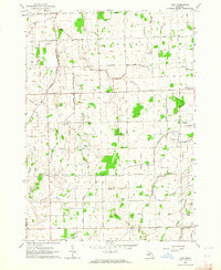
Editions of this 1963 Richmondville Map
This is the sole edition of this map. No revisions or reprints were ever made.
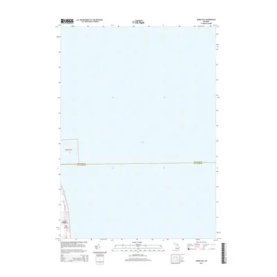
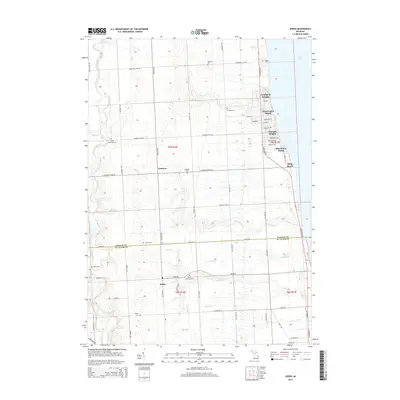
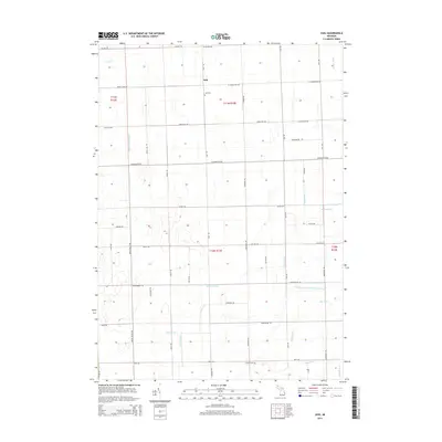
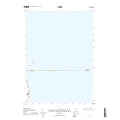
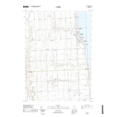
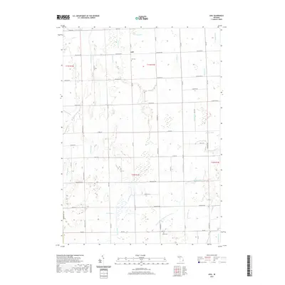
Historical Maps of Forester Township Through Time
59 maps found
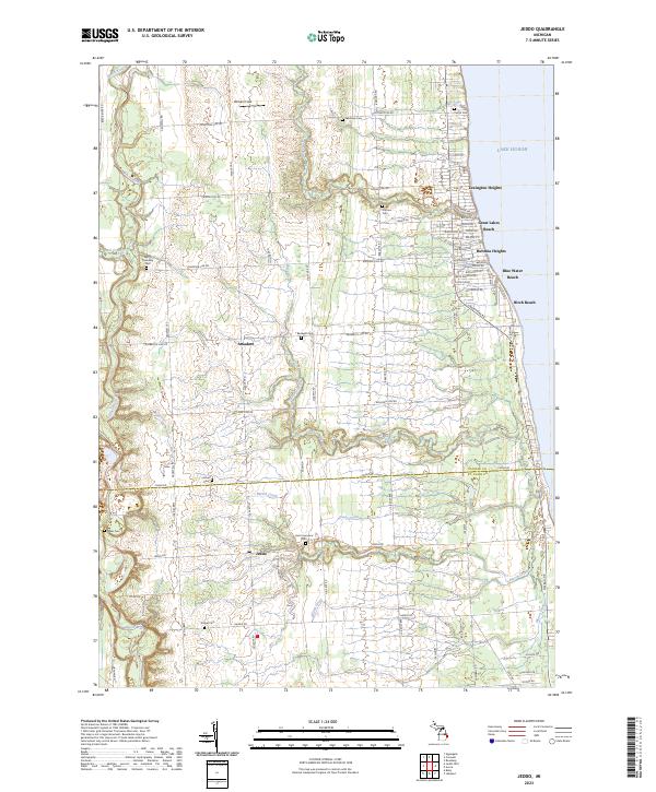
1961 Jeddo
Sanilac County, MI
1961 Roseburg
Sanilac County, MI
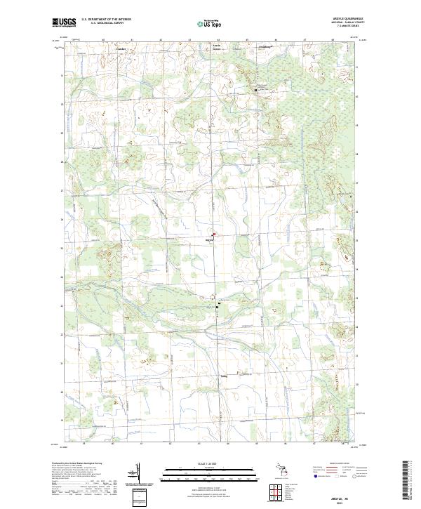
1963 Argyle
Sanilac County, MI
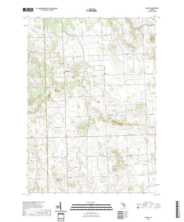
1963 Decker
Sanilac County, MI
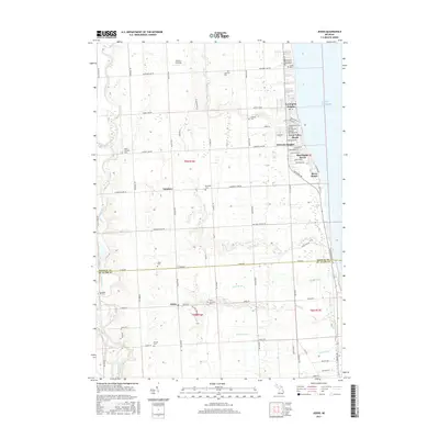
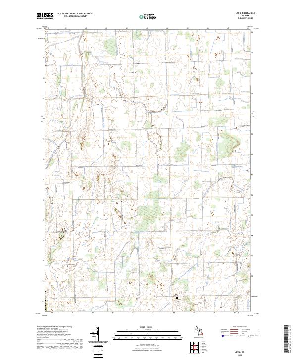
1963 Juhl
Sanilac County, MI
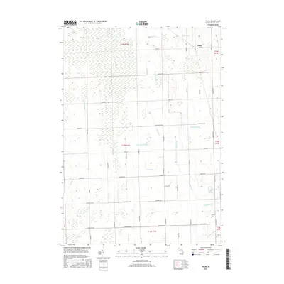
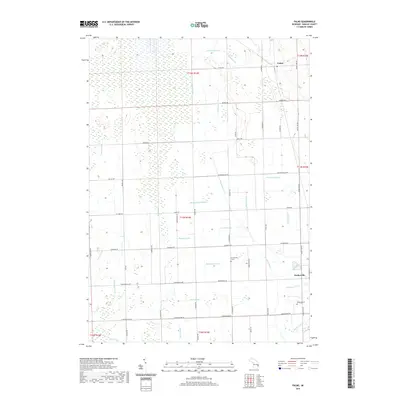
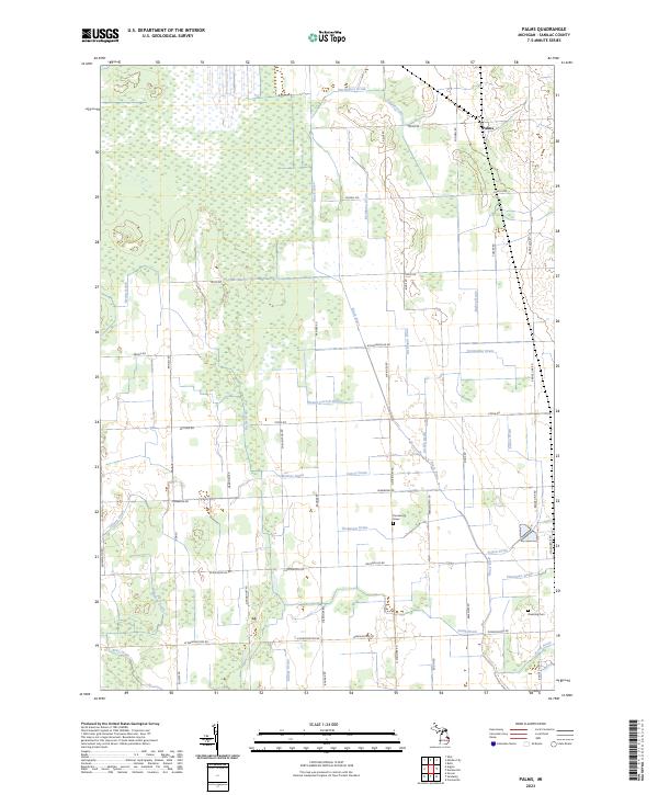
1963 Palms
Sanilac County, MI
1963 Richmondville
Sanilac County, MI
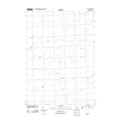
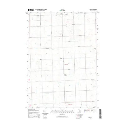
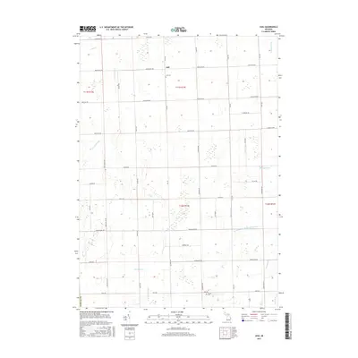
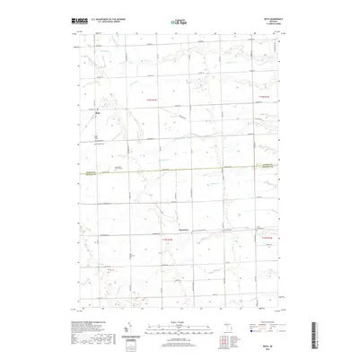
1963 Ruth
Sanilac County, MI
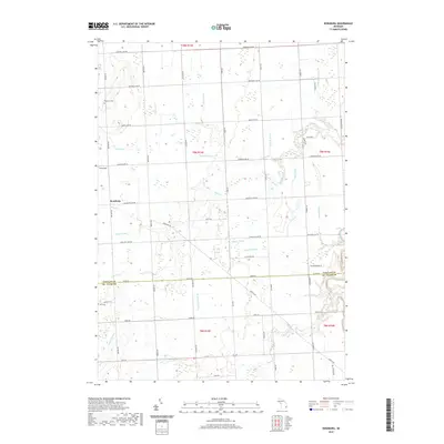
1963 Shabbona
Sanilac County, MI
2011 Argyle
Sanilac County, MI
2011 Decker
Sanilac County, MI
2011 Jeddo OE E
Sanilac County, MI
2011 Jeddo
Sanilac County, MI
2011 Juhl
Sanilac County, MI
2011 Palms
Sanilac County, MI
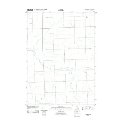
2011 Richmondville
Sanilac County, MI
2011 Roseburg
Sanilac County, MI
2011 Ruth
Sanilac County, MI
2011 Shabbona
Sanilac County, MI
2014 Argyle
Sanilac County, MI
2014 Decker
Sanilac County, MI
2014 Jeddo OE E
Sanilac County, MI
2014 Jeddo
Sanilac County, MI
2014 Juhl
Sanilac County, MI
2014 Palms
Sanilac County, MI
2014 Richmondville
Sanilac County, MI
2014 Roseburg
Sanilac County, MI
2014 Ruth
Sanilac County, MI
2014 Shabbona
Sanilac County, MI
2017 Argyle
Sanilac County, MI
2017 Decker
Sanilac County, MI
2017 Jeddo OE E
Sanilac County, MI
2017 Jeddo
Sanilac County, MI
2017 Juhl
Sanilac County, MI
2017 Palms
Sanilac County, MI
2017 Richmondville
Sanilac County, MI
2017 Roseburg
Sanilac County, MI
2017 Ruth
Sanilac County, MI
2017 Shabbona
Sanilac County, MI
2019 Argyle
Sanilac County, MI
2019 Decker
Sanilac County, MI
2019 Jeddo OE E
Sanilac County, MI
2019 Jeddo
Sanilac County, MI
2019 Juhl
Sanilac County, MI
2019 Palms
Sanilac County, MI
2019 Richmondville
Sanilac County, MI
2019 Roseburg
Sanilac County, MI
2019 Ruth
Sanilac County, MI
2019 Shabbona
Sanilac County, MI
2023 Argyle
Sanilac County, MI
2023 Decker
Sanilac County, MI
2023 Jeddo OE E
Sanilac County, MI
2023 Jeddo
Sanilac County, MI
2023 Juhl
Sanilac County, MI
2023 Palms
Sanilac County, MI
2023 Richmondville
Sanilac County, MI
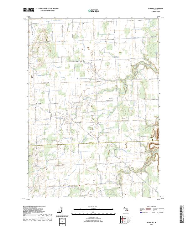
2023 Roseburg
Sanilac County, MI
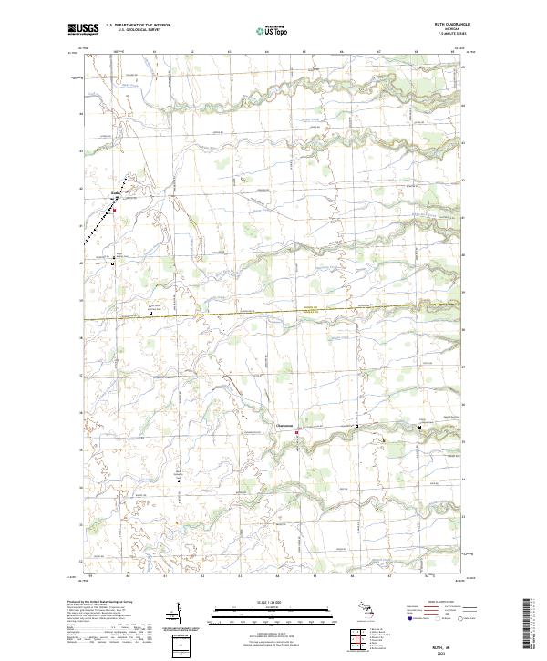
2023 Ruth
Sanilac County, MI
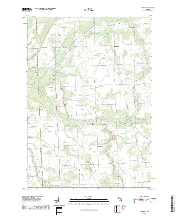
2023 Shabbona
Sanilac County, MI
Featured Locations
- United States
- Sanilac County, MI
- Forester Township, MI
- Delaware Township, MI
- Richmondville, Forester Township