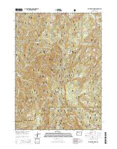
2014 Map of Richter Mountain
USGS Topo · Published 2014About this map
Umpqua National Forest defines the rugged landscape of this section of the Southern Oregon Cascades. The terrain is marked by high ridgelines and significant elevation changes, from Callahan Ridge in the northwest to the prominent Richter Mountain in the south. These heights are separated by deep drainages such as Elk Cr and Anderson Cr, with travel corridors following the topography through points like Neuman Gap and Tombstone Gap. The map captures a moment in the modern management of these timberlands, showing an extensive network of forest development roads, including Nat For Dev Rd 3220 and Nat For Dev Rd 800, which provide access to interior points like Drew Lake and the high lookout at Diamond Rock. The transition between Douglas and Jackson Counties is traced across the southern peaks, where the landscape opens into Long Prairie.
Find a feature on this map
40 named features on this map. Tap any name to fly to it.
Don’t see what you’re looking for? This feature index may not catch every label — zoom into the map to look around manually.
Map Details
Editions of this 2014 Richter Mountain Map
This is the sole edition of this map. No revisions or reprints were ever made.
Other maps of this area

1891 · Ashland
USGS Topo · 1:250,000

1893 · Ashland
USGS Topo · 1:250,000

1897 · Ashland
USGS Topo · 1:250,000

1904 · Riddle
USGS Topo · 1:125,000

1943 · Trail
USGS Topo · 1:62,500

1944 · Tiller
USGS Topo · 1:62,500

1954 · Days Creek
USGS Topo · 1:62,500

1954 · Wimer
USGS Topo · 1:62,500

1955 · Medford
USGS Topo · 1:250,000

1957 · Medford
USGS Topo · 1:250,000