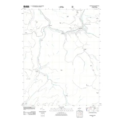
2011 Map of Richwood
USGS Topo · Published 2011About this map
Richwood serves as the focal point of this 2011 survey, situated at the confluence of the North Fork Cherry River and the South Fork Cherry River. The settlement pattern follows the narrow river valleys, with LaFrank and Fenwick extending westward along the Cherry River. This mountainous terrain is deeply etched by a complex drainage system, where numerous branches like Mill Branch and Little Laurel Creek create isolated hollows that have historically dictated local development.
Find a feature on this map
73 named features on this map. Tap any name to fly to it.
Don’t see what you’re looking for? This feature index may not catch every label — zoom into the map to look around manually.
Map Details
Editions of this 2011 Richwood Map
This is the sole edition of this map. No revisions or reprints were ever made.
Other maps of this area

1889 · Nicholas
USGS Topo · 1:125,000

1891 · Nicholas
USGS Topo · 1:125,000

1891 · Huntersville
USGS Topo · 1:125,000

1894 · Huntersville
USGS Topo · 1:125,000

1901 · Nicholas
USGS Topo · 1:125,000

1915 · Webster Springs
USGS Topo · 1:48,000

1915 · Cowen
USGS Topo · 1:48,000

1917 · Cowen
USGS Topo · 1:62,500

1918 · Webster Springs
USGS Topo · 1:62,500

1918 · Richwood
USGS Topo · 1:62,500