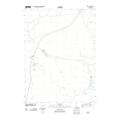
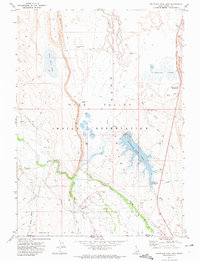
2010 Map of Riddle
USGS Topo · Published 2010About this map
Riddle stands as the primary settlement in this corner of Owyhee County, situated at a junction along State Route 51. The landscape is defined by vast plateaus like Summit Flat, Chicken Flat, and Squaw Flat, which are carved by a network of drainage systems. Water management is a central theme of the geography, evidenced by the presence of Squaw Creek Dam, Indian Creek Reservooir, and Alder Dam near the eastern edge. These features, along with names like Sage Hen Springs and Heifer Spring, suggest a region historically oriented toward ranching and resource management in a high-desert environment.
Find a feature on this map
27 named features on this map. Tap any name to fly to it.
Don’t see what you’re looking for? This feature index may not catch every label — zoom into the map to look around manually.
Map Details
Editions of this 2010 Riddle Map
This is the sole edition of this map. No revisions or reprints were ever made.
Other maps of this area

1955 · Jordan Valley
USGS Topo · 1:250,000

1955 · Twin Falls
USGS Topo · 1:250,000

1957 · Jordan Valley
USGS Topo · 1:250,000

1958 · Twin Falls
USGS Topo · 1:250,000

1958 · Jordan Valley
USGS Topo · 1:250,000
1971 · Flying H Ranch
USGS Topo · 1:24,000
1971 · Three Forks
USGS Topo · 1:24,000
1971 · Riddle
USGS Topo · 1:24,000
1971 · Mountain View Lake
USGS Topo · 1:24,000

1972 · Little Blue Table
USGS Topo · 1:24,000