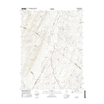
2016 Map of Ridge
USGS Topo · Published 2016About this map
Ridge and the surrounding borderlands of Morgan and Hampshire Counties in West Virginia meet the Virginia state line along a series of prominent northeast-southwest ridges. The terrain is defined by dramatic elevation changes, notably at Warm Springs Ridge and Cacapon High Mtn Point, where the landscape drops into deep hollows such as Connor Hollow and Horsebone Hollow. Transport in this corridor follows the natural contours, with US Rte 522 cutting through Catlett Gap to connect these highland communities.
Find a feature on this map
130 named features on this map. Tap any name to fly to it.
Don’t see what you’re looking for? This feature index may not catch every label — zoom into the map to look around manually.
Map Details
Editions of this 2016 Ridge Map
This is the sole edition of this map. No revisions or reprints were ever made.
Other maps of this area

1894 · Winchester
USGS Topo · 1:125,000

1898 · Paw Paw
USGS Topo · 1:62,500

1899 · Hancock
USGS Topo · 1:62,500

1900 · Pawpaw
USGS Topo · 1:62,500

1901 · Hancock
USGS Topo · 1:62,500

1910 · Paw Paw
USGS Topo · 1:62,500

1914 · Gerrardstown
USGS Topo · 1:48,000

1916 · Gerrardstown
USGS Topo · 1:62,500

1916 · Capon Bridge
USGS Topo · 1:62,500

1923 · Capon Bridge
USGS Topo · 1:62,500