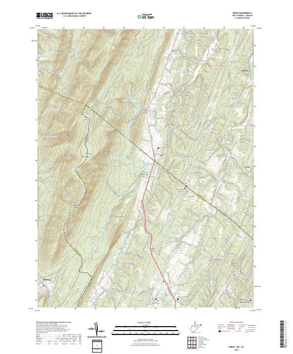
2023 Map of Ridge
USGS Topo · Published 2023About this map
Cacapon Mountain and the parallel crests of Warm Springs Ridge and Timber Ridge dominate this section of the Appalachian landscape along the West Virginia and Virginia border. The geography is defined by a series of narrow valleys where small settlements like Bloomery and Unger are situated. A network of country roads, including Valley Rd and the Winchester Grade Rd, connects these rural communities through gaps such as Catlett Gap.
Find a feature on this map
144 named features on this map. Tap any name to fly to it.
Don’t see what you’re looking for? This feature index may not catch every label — zoom into the map to look around manually.
Map Details
Editions of this 2023 Ridge Map
This is the sole edition of this map. No revisions or reprints were ever made.
Other maps of this area

1894 · Winchester
USGS Topo · 1:125,000

1898 · Paw Paw
USGS Topo · 1:62,500

1899 · Hancock
USGS Topo · 1:62,500

1900 · Pawpaw
USGS Topo · 1:62,500

1901 · Hancock
USGS Topo · 1:62,500

1910 · Paw Paw
USGS Topo · 1:62,500

1914 · Gerrardstown
USGS Topo · 1:48,000

1916 · Gerrardstown
USGS Topo · 1:62,500

1916 · Capon Bridge
USGS Topo · 1:62,500

1923 · Capon Bridge
USGS Topo · 1:62,500