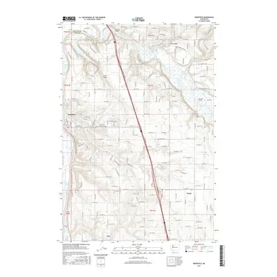
2017 Map of Ridgefield
USGS Topo · Published 2017About this map
Ridgefield and La Center anchor this southwestern Washington landscape, where the Lewis River and its East Fork carve through the terrain of northern Clark County. The map details a complex hydrological network including Lake River, which flows past Quigley Lake and Campbell Lake, and numerous smaller drainages like Gee Creek and Flume Creek. The topography is defined by features such as Allen Canyon and the elevated ground near Paradise Point.
Find a feature on this map
112 named features on this map. Tap any name to fly to it.
Don’t see what you’re looking for? This feature index may not catch every label — zoom into the map to look around manually.
Map Details
Editions of this 2017 Ridgefield Map
This is the sole edition of this map. No revisions or reprints were ever made.
Other maps of this area

1897 · Portland
USGS Topo · 1:62,500

1905 · Portland
USGS Topo · 1:62,500

1915 · Hillsboro
USGS Topo · 1:62,500

1918 · Hillsboro
USGS Topo · 1:62,500

1922 · St. Helens
USGS Topo · 1:62,500

1940 · Hillsboro
USGS Topo · 1:62,500

1940 · Portland
USGS Topo · 1:62,500

1940 · La Center
USGS Topo · 1:62,500

1941 · St Helens
USGS Topo · 1:62,500

1943 · St Helens
USGS Topo · 1:62,500