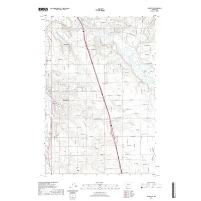
2020 Map of Ridgefield
USGS Topo · Published 2020About this map
Ridgefield and La Center anchor this 2020 landscape where the Lewis River and its East Fork define the northern terrain. The area is marked by a transition from the river lowlands near Paradise Point to the upland plateaus where settlements like Duluth and Sara are situated. This modern survey detail shows the persistent presence of local history through several burial grounds, including the Bethel Evangelical Methodist Church Cem and the Sara Union Cem.
Find a feature on this map
188 named features on this map. Tap any name to fly to it.
Don’t see what you’re looking for? This feature index may not catch every label — zoom into the map to look around manually.
Map Details
Editions of this 2020 Ridgefield Map
This is the sole edition of this map. No revisions or reprints were ever made.
Other maps of this area

1897 · Portland
USGS Topo · 1:62,500

1905 · Portland
USGS Topo · 1:62,500

1915 · Hillsboro
USGS Topo · 1:62,500

1918 · Hillsboro
USGS Topo · 1:62,500

1922 · St. Helens
USGS Topo · 1:62,500

1940 · Hillsboro
USGS Topo · 1:62,500

1940 · Portland
USGS Topo · 1:62,500

1940 · La Center
USGS Topo · 1:62,500

1941 · St Helens
USGS Topo · 1:62,500

1943 · St Helens
USGS Topo · 1:62,500