Loading...
Loading map...1975 Map of Ridgeland
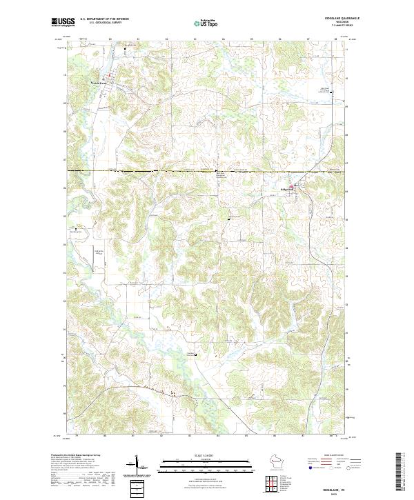
USGS Topo · Published 1978About this map
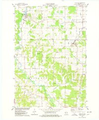
Prairie Farm and Ridgeland anchor this mid-1970s survey of the borderlands between Barron and Dunn Counties. The landscape is defined by the winding course of the Hay River and the Turtle Creek drainage, where the Prairie Farm Flowage sits north of the village. The mapping reveals a rural infrastructure of named country roads such as Kaiser Road and Swamp Road, which connect several local landmarks including St Pauls Ch and Zion Ch Cem.
Find a feature on this map
46 named features on this map. Tap any name to fly to it.
Don’t see what you’re looking for? This feature index may not catch every label — zoom into the map to look around manually.
Map Details
Date Portrayed1975
Date Published1978
PublisherU.S. Geological Survey
Map TypeTopographic
Scale1:24,000
Physical Dimensions22.5 x 27.28 inches
Editions of this 1975 Ridgeland Map
This is the sole edition of this map. No revisions or reprints were ever made.
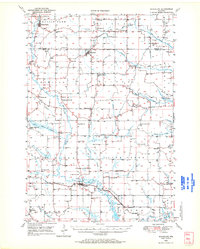
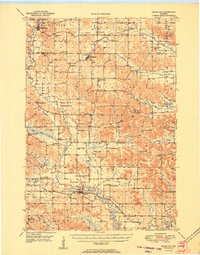
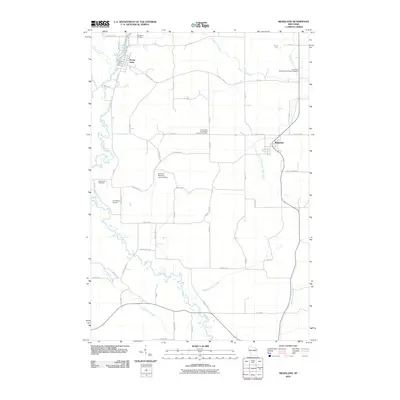
Historical Maps of Prairie Farm Through Time
8 maps found
Featured Locations
Source Details
SourceU.S. Geological Survey
CopyrightPublic Domain