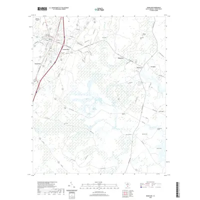
2020 Map of Ridgeland
USGS Topo · Published 2020About this map
Grahamville and the town of Ridgeland anchor this Jasper County landscape, showing the proximity of early settlements to the intricate wetlands of the South Carolina Lowcountry. The map details a transition from the established community at Grahamville Cemetery to the vast reaches of the Honey Hill Swamp and the Great Swamp. The presence of numerous small cemeteries, including Berton Cemetery and Preference Cemetery, highlights the distributed nature of local family history and rural burial grounds throughout the area.
Find a feature on this map
77 named features on this map. Tap any name to fly to it.
Don’t see what you’re looking for? This feature index may not catch every label — zoom into the map to look around manually.
Map Details
Editions of this 2020 Ridgeland Map
This is the sole edition of this map. No revisions or reprints were ever made.
Other maps of this area

1918 · Yemassee
USGS Topo · 1:62,500

1919 · Pineland
USGS Topo · 1:62,500

1920 · Hardeeville
USGS Topo · 1:62,500

1920 · Okatie
USGS Topo · 1:62,500

1942 · Okatie
USGS Topo · 1:62,500

1943 · Pineland
USGS Topo · 1:62,500

1943 · Hardeeville
USGS Topo · 1:62,500

1943 · Yemassee
USGS Topo · 1:62,500

1947 · Savannah
USGS Topo · 1:250,000

1948 · Savannah
USGS Topo · 1:250,000