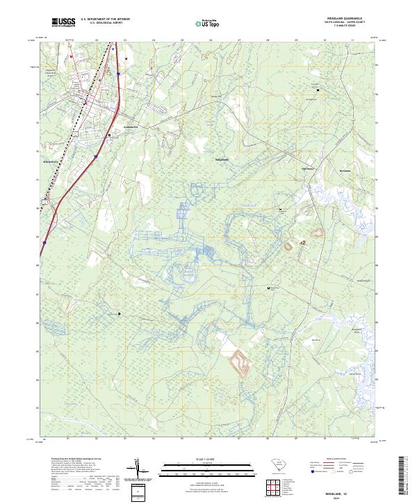
2024 Map of Ridgeland
USGS Topo · Published 2024About this map
Ridgeland serves as a focal point for this Lowcountry landscape, anchored by the Jasper County Courthouse and the local Ridgeland-Claude Dean Airport. The topography is defined by complex wetland systems, including the Great Swamp and Honey Hill Swamp, which feed into the meandering course of Hazzard Creek. This modern survey reveals a network of historical footprints, particularly through numerous burial grounds like Grahamville Cem and Preference Cem, as well as the naming of Good Hope Plantation. Smaller settlements such as Grahamville, Old House, and Nevadum are interconnected by both road and the CSX Transportation railroad. The inclusion of features like Wellington Back-Water and Richfield Lake illustrates the managed water systems characteristic of the region's agricultural and land-use history.
Find a feature on this map
82 named features on this map. Tap any name to fly to it.
Don’t see what you’re looking for? This feature index may not catch every label — zoom into the map to look around manually.
Map Details
Editions of this 2024 Ridgeland Map
This is the sole edition of this map. No revisions or reprints were ever made.
Other maps of this area

1918 · Yemassee
USGS Topo · 1:62,500

1919 · Pineland
USGS Topo · 1:62,500

1920 · Hardeeville
USGS Topo · 1:62,500

1920 · Okatie
USGS Topo · 1:62,500

1942 · Okatie
USGS Topo · 1:62,500

1943 · Pineland
USGS Topo · 1:62,500

1943 · Hardeeville
USGS Topo · 1:62,500

1943 · Yemassee
USGS Topo · 1:62,500

1947 · Savannah
USGS Topo · 1:250,000

1948 · Savannah
USGS Topo · 1:250,000