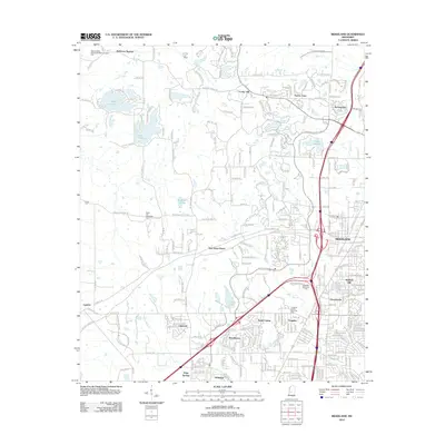
2012 Map of Ridgeland
USGS Topo · Published 2012About this map
Ridgeland and its surrounding residential communities are the focal point of this 2012 survey, revealing the suburban expansion north of Jackson. The landscape is defined by established neighborhoods like Twelve Oaks, Summertree, and Cedar Hill, interspersed with numerous private lakes such as Lake Cavalier and Lake Lorman. The presence of the Natchez Trace Pkwy cutting through the center provides a historic transit corridor that contrasts with the modern developments of Woodhaven and North Colony.
Find a feature on this map
59 named features on this map. Tap any name to fly to it.
Don’t see what you’re looking for? This feature index may not catch every label — zoom into the map to look around manually.
Map Details
Editions of this 2012 Ridgeland Map
This is the sole edition of this map. No revisions or reprints were ever made.
Other maps of this area

1903 · Jackson
USGS Topo · 1:125,000

1905 · Jackson
USGS Topo · 1:48,000

1908 · Jackson
USGS Topo · 1:62,500

1934 · Raymond
USGS Topo · 1:48,000

1937 · Raymond
USGS Topo · 1:62,500

1942 · Raymond
USGS Topo · 1:62,500

1955 · Jackson
USGS Topo · 1:250,000

1961 · Jackson
USGS Topo · 1:250,000

1961 · Canton
USGS Topo · 1:62,500

1962 · Jackson
USGS Topo · 1:250,000