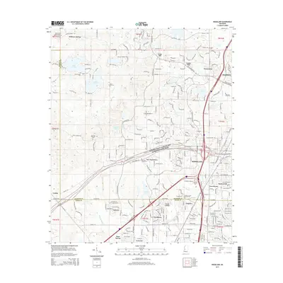
2015 Map of Ridgeland
USGS Topo · Published 2015About this map
The Natchez Trace Parkway and National Scenic Trail cuts a diagonal path through this landscape, marking a modern preservation of one of the most significant historic travel corridors in the American South. The map documents the interface between the growing residential outskirts of Ridgeland and Madison and the rural heritage preserved in numerous family and church burial grounds. Notable sites for genealogical research include the Holland Family Cem, Taylor-Simpson Cem, and the Mount Center Missionary Baptist Church Cem.
Find a feature on this map
53 named features on this map. Tap any name to fly to it.
Don’t see what you’re looking for? This feature index may not catch every label — zoom into the map to look around manually.
Map Details
Editions of this 2015 Ridgeland Map
This is the sole edition of this map. No revisions or reprints were ever made.
Other maps of this area

1903 · Jackson
USGS Topo · 1:125,000

1905 · Jackson
USGS Topo · 1:48,000

1908 · Jackson
USGS Topo · 1:62,500

1934 · Raymond
USGS Topo · 1:48,000

1937 · Raymond
USGS Topo · 1:62,500

1942 · Raymond
USGS Topo · 1:62,500

1955 · Jackson
USGS Topo · 1:250,000

1961 · Jackson
USGS Topo · 1:250,000

1961 · Canton
USGS Topo · 1:62,500

1962 · Jackson
USGS Topo · 1:250,000