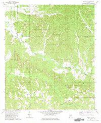
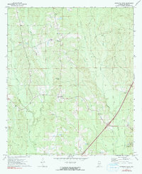
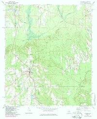
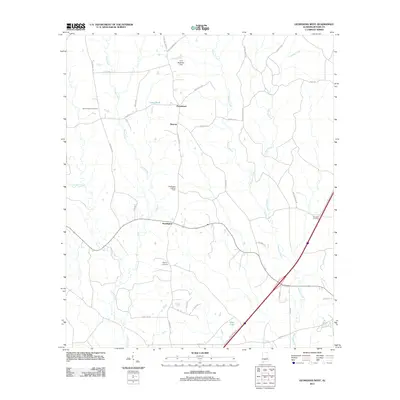
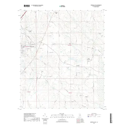
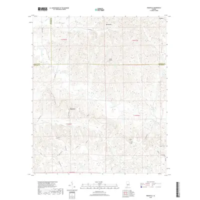
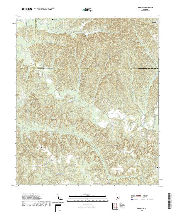
1981 Map of Ridgeville
USGS Topo · Published 1981About this map
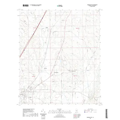
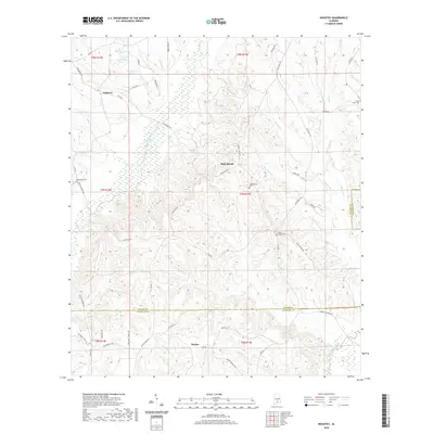
The tri-county intersection of Butler, Lowndes, and Wilcox counties anchors this 1981 survey, characterized by a complex drainage network feeding into Cedar Creek. Small rural communities like Ridgeville and Macedonia are shown connected by local routes, including the path toward Monterey. The landscape is dotted with generational landmarks such as Oak Valley Church and Mt Olive Church, alongside several family and community burial sites like Snow Cemetery, Hopewell Cemetery, and Crenshaws Cemetery. The topography rises to County Line Hill, while the local economy is evidenced by a Gravel Pit and the various creeks—Wolf Creek, Mussel Creek, and Saddlers Creek—that define the movement of water through this central Alabama countryside.
Find a feature on this map
26 named features on this map. Tap any name to fly to it.
Don’t see what you’re looking for? This feature index may not catch every label — zoom into the map to look around manually.
Map Details
Editions of this 1981 Ridgeville Map
2 editions found
Historical Maps of Macedonia Through Time
61 maps found
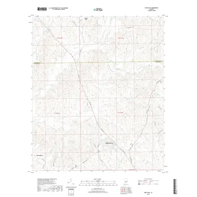
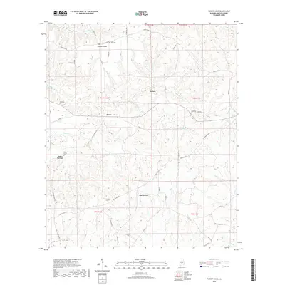
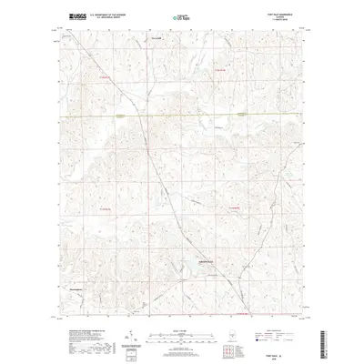
1971 Fort Dale
Butler County, AL
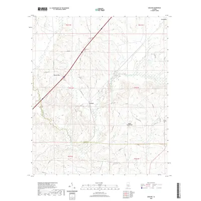
1971 Garland
Butler County, AL
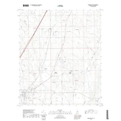
1971 Georgiana East
Butler County, AL
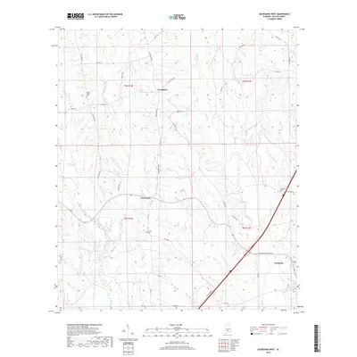
1971 Georgiana West
Butler County, AL
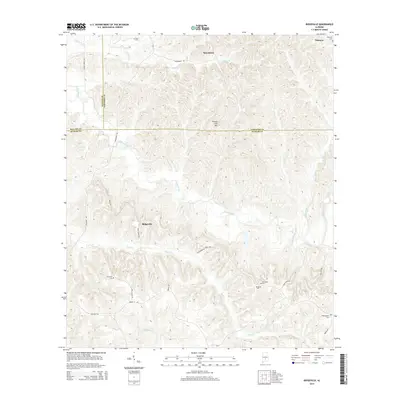
1971 Greenville East
Butler County, AL
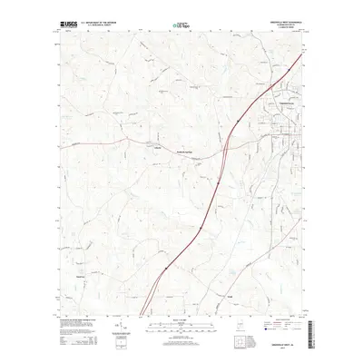
1971 Greenville West
Butler County, AL
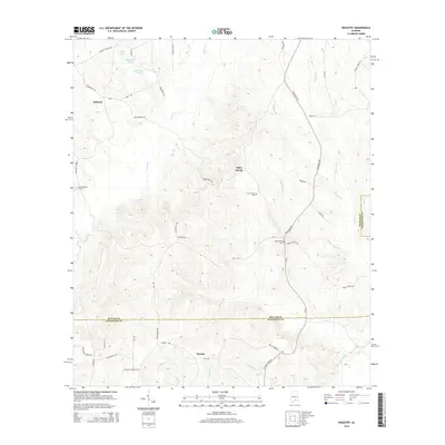
1971 Industry
Butler County, AL
1971 Mc Kenzie
Butler County, AL
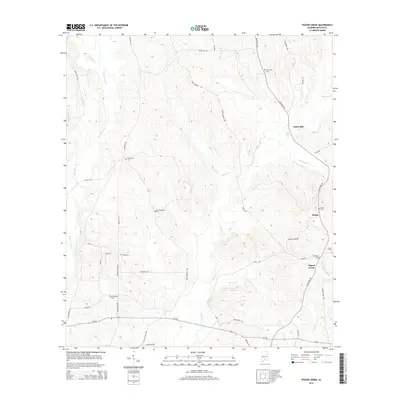
1971 Pigeon Creek
Butler County, AL
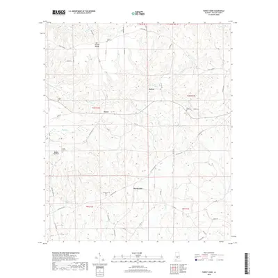
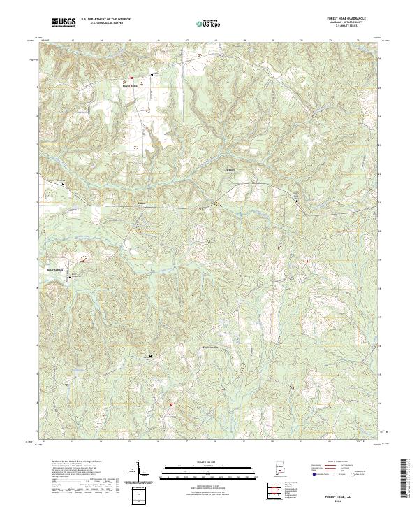
1981 Forest Home
Butler County, AL
1981 Ridgeville
Butler County, AL
2011 Forest Home
Butler County, AL
2011 Fort Dale
Butler County, AL
2011 Garland
Butler County, AL
2011 Georgiana East
Butler County, AL
2011 Georgiana West
Butler County, AL
2011 Greenville East
Butler County, AL
2011 Greenville West
Butler County, AL
2011 Industry
Butler County, AL
2011 Pigeon Creek
Butler County, AL
2011 Ridgeville
Butler County, AL
2014 Forest Home
Butler County, AL
2014 Fort Dale
Butler County, AL
2014 Garland
Butler County, AL
2014 Georgiana East
Butler County, AL
2014 Georgiana West
Butler County, AL
2014 Greenville East
Butler County, AL
2014 Greenville West
Butler County, AL
2014 Industry
Butler County, AL
2014 Pigeon Creek
Butler County, AL
2014 Ridgeville
Butler County, AL
2018 Forest Home
Butler County, AL
2018 Fort Dale
Butler County, AL

2018 Garland
Butler County, AL
2018 Georgiana East
Butler County, AL
2018 Georgiana West
Butler County, AL
2018 Greenville East
Butler County, AL
2018 Greenville West
Butler County, AL
2018 Industry
Butler County, AL
2018 Pigeon Creek
Butler County, AL
2018 Ridgeville
Butler County, AL
2020 Forest Home
Butler County, AL
2020 Fort Dale
Butler County, AL
2020 Garland
Butler County, AL
2020 Georgiana East
Butler County, AL
2020 Georgiana West
Butler County, AL
2020 Greenville East
Butler County, AL
2020 Greenville West
Butler County, AL
2020 Industry
Butler County, AL
2020 Pigeon Creek
Butler County, AL
2020 Ridgeville
Butler County, AL
2024 Forest Home
Butler County, AL
2024 Fort Dale
Butler County, AL
2024 Garland
Butler County, AL
2024 Georgiana East
Butler County, AL
2024 Georgiana West
Butler County, AL
2024 Greenville East
Butler County, AL
2024 Greenville West
Butler County, AL
2024 Industry
Butler County, AL
2024 Pigeon Creek
Butler County, AL
2024 Ridgeville
Butler County, AL