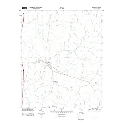
2011 Map of Ridgeway
USGS Topo · Published 2011About this map
The town of Ridgeway serves as the central hub of this South Carolina landscape, situated at the junction of several historic corridors including Old Twenty One and E Broad St. This 2011 survey reveals a settlement pattern where residential areas and family-named roads like Mood Harrison Rd and Harrison Johnson Rd are interspersed with several places of interment, notably Saint Stephens Cemetery, Aimwell Cemetery, and Sawneys Creek Cemetery near the eastern edge. The terrain is deeply defined by a dense network of waterways, including the winding Sawneys Creek and Dutchmans Creek, which feed into various water control structures such as the South Carolina Noname 20023 D-0533 Dam. To the south, the community of Smallwood sits near the headwaters of Twentyfive Mile Creek, illustrating the long-standing reliance on local creek systems for rural South Carolina geography.
Find a feature on this map
78 named features on this map. Tap any name to fly to it.
Don’t see what you’re looking for? This feature index may not catch every label — zoom into the map to look around manually.
Map Details
Editions of this 2011 Ridgeway Map
This is the sole edition of this map. No revisions or reprints were ever made.
Other maps of this area

1904 · Columbia
USGS Topo · 1:125,000

1935 · Killian
USGS Topo · 1:48,000

1937 · Killian
USGS Topo · 1:62,500

1941 · Spartanburg
USGS Topo · 1:250,000

1942 · Camden
USGS Topo · 1:125,000

1949 · Irmo NE
USGS Topo · 1:24,000

1953 · Blythewood
USGS Topo · 1:24,000

1953 · Blaney
USGS Topo · 1:24,000

1953 · Spartanburg
USGS Topo · 1:250,000

1960 · Spartanburg
USGS Topo · 1:250,000