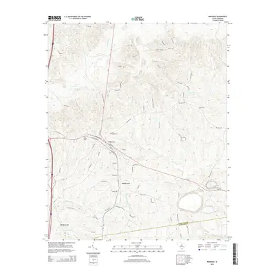
2014 Map of Ridgeway
USGS Topo · Published 2014About this map
The town of Ridgeway serves as the focal point for this survey of the Piedmont landscape where Fairfield and Richland counties meet. The settlement patterns follow a network of historic transit routes, including N Coleman Hwy and Longtown Rd, which connect the main town to smaller communities like Smallwood and Blythewood. The topography is defined by a dense drainage system that flows through the rolling terrain, featuring prominent water bodies such as Twentyfive Mile Cr, Dutchmans Cr, and Sawneys Cr. For those researching local heritage, the map identifies key landmarks including Saint Stephens Cem and Almwell Cem, alongside family-named corridors like Harrison Johnson Rd and Mood Harrison Rd. The road network, ranging from major state routes like SC-34 to the unpaved Jeep Trail Rd, illustrates the blend of modern infrastructure and rural South Carolina tradition.
Find a feature on this map
75 named features on this map. Tap any name to fly to it.
Don’t see what you’re looking for? This feature index may not catch every label — zoom into the map to look around manually.
Map Details
Editions of this 2014 Ridgeway Map
This is the sole edition of this map. No revisions or reprints were ever made.
Other maps of this area

1904 · Columbia
USGS Topo · 1:125,000

1935 · Killian
USGS Topo · 1:48,000

1937 · Killian
USGS Topo · 1:62,500

1941 · Spartanburg
USGS Topo · 1:250,000

1942 · Camden
USGS Topo · 1:125,000

1949 · Irmo NE
USGS Topo · 1:24,000

1953 · Blythewood
USGS Topo · 1:24,000

1953 · Blaney
USGS Topo · 1:24,000

1953 · Spartanburg
USGS Topo · 1:250,000

1960 · Spartanburg
USGS Topo · 1:250,000