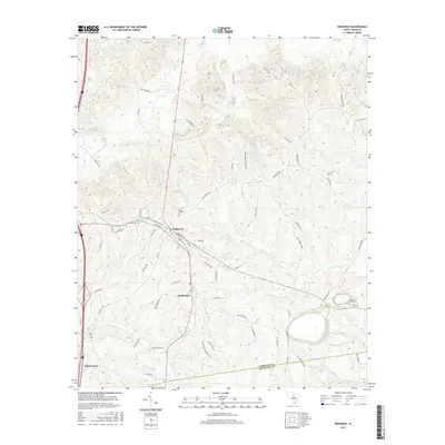
2017 Map of Ridgeway
USGS Topo · Published 2017About this map
The town of Ridgeway serves as the focal point for this landscape along the border of Fairfield and Richland counties. The settlement pattern here is defined by historical transit routes, most notably the Old Camden Rd and the corridor including the Smallwood community. The map details a transition from the structured street grid of the town center—including N Coleman St and S Palmer St—into a rural network of family-named roads and drainage systems. This topography is defined by the headwaters of numerous creeks, such as Dutchmans Cr and Sawneys Cr, which carve through the terrain. Genealogists will find significance in several burial sites located outside the main town, including Saint Stephens Cem, Aimwell Cem, and Sawneys Creek Cem, which speak to the area's long-established rural congregations. The southern portion reaches toward Blythewood, illustrating the continued importance of this north-south corridor for regional growth.
Find a feature on this map
74 named features on this map. Tap any name to fly to it.
Don’t see what you’re looking for? This feature index may not catch every label — zoom into the map to look around manually.
Map Details
Editions of this 2017 Ridgeway Map
This is the sole edition of this map. No revisions or reprints were ever made.
Other maps of this area

1904 · Columbia
USGS Topo · 1:125,000

1935 · Killian
USGS Topo · 1:48,000

1937 · Killian
USGS Topo · 1:62,500

1941 · Spartanburg
USGS Topo · 1:250,000

1942 · Camden
USGS Topo · 1:125,000

1949 · Irmo NE
USGS Topo · 1:24,000

1953 · Blythewood
USGS Topo · 1:24,000

1953 · Blaney
USGS Topo · 1:24,000

1953 · Spartanburg
USGS Topo · 1:250,000

1960 · Spartanburg
USGS Topo · 1:250,000