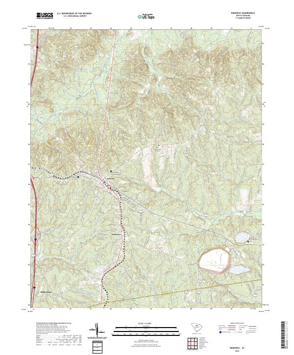
2024 Map of Ridgeway
USGS Topo · Published 2024About this map
Ridgeway serves as the primary hub of this Fairfield County landscape, where the intersection of traditional routes like Old Camden Rd and modern thoroughfares defines the local geography. The area's deep community roots are evidenced by numerous historic burial sites and congregations, including Saint Stephens Church Graveyard and Mount Pisgah Church Graveyard. These landmarks, along with Aimwell Cem, provide essential anchor points for genealogical research in a region characterized by its rolling Piedmont terrain and a dense network of tributaries.
Find a feature on this map
80 named features on this map. Tap any name to fly to it.
Don’t see what you’re looking for? This feature index may not catch every label — zoom into the map to look around manually.
Map Details
Editions of this 2024 Ridgeway Map
This is the sole edition of this map. No revisions or reprints were ever made.
Other maps of this area

1904 · Columbia
USGS Topo · 1:125,000

1935 · Killian
USGS Topo · 1:48,000

1937 · Killian
USGS Topo · 1:62,500

1941 · Spartanburg
USGS Topo · 1:250,000

1942 · Camden
USGS Topo · 1:125,000

1949 · Irmo NE
USGS Topo · 1:24,000

1953 · Blythewood
USGS Topo · 1:24,000

1953 · Blaney
USGS Topo · 1:24,000

1953 · Spartanburg
USGS Topo · 1:250,000

1960 · Spartanburg
USGS Topo · 1:250,000