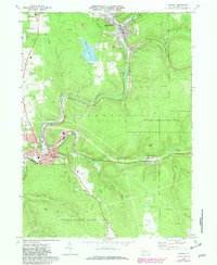
1969 Map of Ridgway
USGS Topo · Published 1981About this map
The deep valley of the Clarion River and its confluence with Elk Creek anchor the industrial and civic landscape of Ridgway. During the late 1960s, this area of Elk County balanced heavy industry and extraction with public infrastructure. Large industrial footprints such as the Sedimentation Reservoir and scattered gas fields are prominent, while the Conrail rail lines track the winding riverbanks to serve the Johnsonburg corridor. Local community life is centered around institutions like St Leo's Sch, Centennial Sch, and the Armory.
Find a feature on this map
47 named features on this map. Tap any name to fly to it.
Don’t see what you’re looking for? This feature index may not catch every label — zoom into the map to look around manually.
Map Details
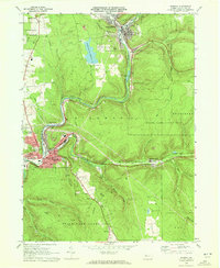
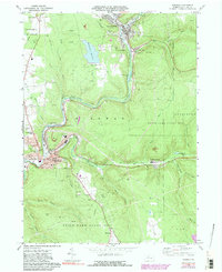
Editions of this 1969 Ridgway Map
3 editions found
Other maps of this area

1934 · Kane
USGS Topo · 1:48,000

1935 · Mt. Jewett
USGS Topo · 1:48,000

1939 · Kane
USGS Topo · 1:62,500

1940 · Hallton
USGS Topo · 1:48,000

1940 · Mt. Jewett
USGS Topo · 1:62,500

1941 · Ridgway
USGS Topo · 1:62,500

1943 · Hallton
USGS Topo · 1:62,500

1944 · Ridgway
USGS Topo · 1:62,500

1957 · Warren
USGS Topo · 1:250,000

1958 · Warren
USGS Topo · 1:250,000