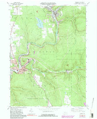
1969 Map of Ridgway
USGS Topo · Published 1991About this map
Industrial activity along the Clarion River valley characterizes this mid-century view of Elk County, where the convergence of the East Br Clarion River and Little Mill Creek supported the growth of Johnsonburg. The landscape is a complex mix of heavy industry and conservation, with Industrial Waste Ponds and a Sedimentation Reservoir situated near the borders of the Allegheny Nat Forest. Further south, the borough of Ridgway serves as a dense civic hub, containing the Boro Hall, St Leo Sch, and a local Hospital.
Find a feature on this map
57 named features on this map. Tap any name to fly to it.
Don’t see what you’re looking for? This feature index may not catch every label — zoom into the map to look around manually.
Map Details
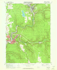
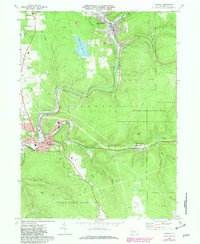
Editions of this 1969 Ridgway Map
3 editions found
Other maps of this area

1934 · Kane
USGS Topo · 1:48,000

1935 · Mt. Jewett
USGS Topo · 1:48,000

1939 · Kane
USGS Topo · 1:62,500

1940 · Hallton
USGS Topo · 1:48,000

1940 · Mt. Jewett
USGS Topo · 1:62,500

1941 · Ridgway
USGS Topo · 1:62,500

1943 · Hallton
USGS Topo · 1:62,500

1944 · Ridgway
USGS Topo · 1:62,500

1957 · Warren
USGS Topo · 1:250,000

1958 · Warren
USGS Topo · 1:250,000