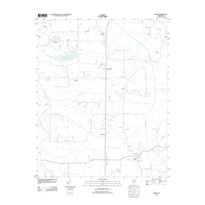
2012 Map of Rienzi
USGS Topo · Published 2012About this map
The Tuscumbia River and its numerous tributaries, including Parmicha Cr and Bynum Cr, define the drainage patterns of this Alcorn County landscape. Settlement is concentrated along the primary north-south corridor, where the community of Biggersville sits near New Hope Cem. Further south, the town of Rienzi serves as a local hub near the Rienzi Cem.
Find a feature on this map
111 named features on this map. Tap any name to fly to it.
Don’t see what you’re looking for? This feature index may not catch every label — zoom into the map to look around manually.
Map Details
Editions of this 2012 Rienzi Map
This is the sole edition of this map. No revisions or reprints were ever made.
Other maps of this area

1921 · Booneville
USGS Topo · 1:48,000

1922 · Booneville
USGS Topo · 1:62,500

1935 · Glens
USGS Topo · 1:24,000

1936 · Kendrick
USGS Topo · 1:24,000

1950 · Corinth
USGS Topo · 1:62,500

1950 · Kendrick
USGS Topo · 1:24,000

1950 · Glens
USGS Topo · 1:24,000

1950 · Altitude
USGS Topo · 1:24,000

1956 · Tupelo
USGS Topo · 1:250,000

1958 · Tupelo
USGS Topo · 1:250,000