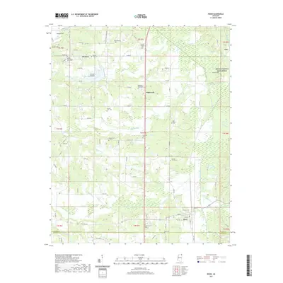
2021 Map of Rienzi
USGS Topo · Published 2021About this map
The town of Rienzi and the settlement of Biggersville anchor this northern Mississippi landscape, situated along the border of Alcorn and Prentiss counties. The area is defined by a dense network of small family burial plots and historic church grounds, reflecting the deep-rooted genealogical fabric of the community. Of particular interest is the presence of the Shiloh National Battlefield and the Stockade Cem near the eastern edge. Local history is literally etched into the terrain at sites like the Ann Eliza Ross-Hord Gravesite and Tuscumbias Grave. Numerous waterways, including the Tuscumbia River and several creek systems like Mays Creek and Hinkle Cr, wind through the township, which was historically connected by the Railroad Br near the community of Jobes.
Find a feature on this map
104 named features on this map. Tap any name to fly to it.
Don’t see what you’re looking for? This feature index may not catch every label — zoom into the map to look around manually.
Map Details
Editions of this 2021 Rienzi Map
This is the sole edition of this map. No revisions or reprints were ever made.
Other maps of this area

1921 · Booneville
USGS Topo · 1:48,000

1922 · Booneville
USGS Topo · 1:62,500

1935 · Glens
USGS Topo · 1:24,000

1936 · Kendrick
USGS Topo · 1:24,000

1950 · Corinth
USGS Topo · 1:62,500

1950 · Kendrick
USGS Topo · 1:24,000

1950 · Glens
USGS Topo · 1:24,000

1950 · Altitude
USGS Topo · 1:24,000

1956 · Tupelo
USGS Topo · 1:250,000

1958 · Tupelo
USGS Topo · 1:250,000