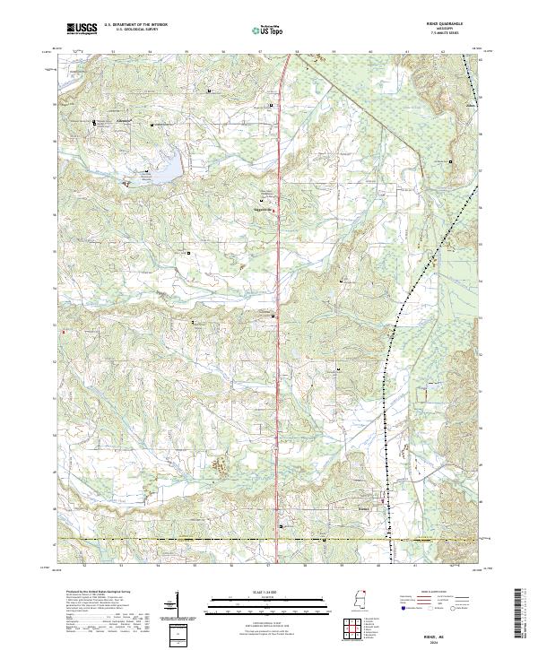
2024 Map of Rienzi
USGS Topo · Published 2024About this map
Shiloh National Battlefield occupies the northeastern corner of this landscape, marking a site of deep historical resonance where the Stockade Cem and Santa Fe Lake now sit. The area is defined by a dense network of family and community burial sites, including the Ann Eliza Ross Hord Gravesite and the curiously named Tuscumbias Grave. These small, localized cemeteries are scattered among the drainages of Mays Creek and Tuscumbia River, illustrating the deep-rooted settlement patterns of Alcorn Co and Prentiss Co.
Find a feature on this map
101 named features on this map. Tap any name to fly to it.
Don’t see what you’re looking for? This feature index may not catch every label — zoom into the map to look around manually.
Map Details
Editions of this 2024 Rienzi Map
This is the sole edition of this map. No revisions or reprints were ever made.
Other maps of this area

1921 · Booneville
USGS Topo · 1:48,000

1922 · Booneville
USGS Topo · 1:62,500

1935 · Glens
USGS Topo · 1:24,000

1936 · Kendrick
USGS Topo · 1:24,000

1950 · Corinth
USGS Topo · 1:62,500

1950 · Kendrick
USGS Topo · 1:24,000

1950 · Glens
USGS Topo · 1:24,000

1950 · Altitude
USGS Topo · 1:24,000

1956 · Tupelo
USGS Topo · 1:250,000

1958 · Tupelo
USGS Topo · 1:250,000