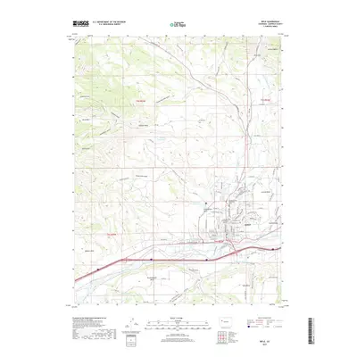
2019 Map of Rifle
USGS Topo · Published 2019About this map
Rifle sits at the base of the Grand Hogback along the banks of the Colorado River, serving as a critical hub in the Colorado River valley. This 2019 survey illustrates the complex relationship between the high mesas and the life-giving water systems that sustain the region. Agricultural and residential development is concentrated on landforms like Graham Mesa, Cactus Valley, and Prefontaine Mesa, supported by an intricate network of irrigation including the Grand Tunnel Ditch, Pioneer Ditch, and Last Chance Ditch. Within the town center, the Garfield County Courthouse and the Colorado State University Extension highlight the town's role as a civic and educational center. Local history is preserved at Rosehill Cem and Rose Hill Cem, while the surrounding terrain is marked by distinctive features such as Doodlebug Gulch and Hubbard Mesa.
Find a feature on this map
106 named features on this map. Tap any name to fly to it.
Don’t see what you’re looking for? This feature index may not catch every label — zoom into the map to look around manually.
Map Details
Editions of this 2019 Rifle Map
This is the sole edition of this map. No revisions or reprints were ever made.
Other maps of this area

1906 · Grand Hogback
USGS Topo · 1:125,000

1910 · Grand Hogback
USGS Topo · 1:125,000

1952 · Rio Blanco
USGS Topo · 1:24,000

1952 · Anvil Points
USGS Topo · 1:24,000

1952 · Horse Mountain
USGS Topo · 1:24,000

1952 · Rifle
USGS Topo · 1:24,000

1957 · Leadville
USGS Topo · 1:250,000

1959 · Leadville
USGS Topo · 1:250,000

1960 · Leadville
USGS Topo · 1:250,000

1960 · North Mamm Peak
USGS Topo · 1:24,000