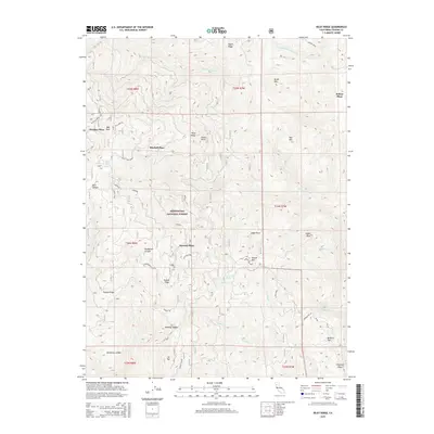
2015 Map of Riley Ridge
USGS Topo · Published 2015About this map
Mendocino National Forest defines the character of this mountain landscape, where isolated homestead sites and named clearings suggest a history of seasonal grazing and forest management. Family names are preserved in locations such as Steuben Place, Mitchell Place, and Dawson Place, likely marking former ranching headquarters or historical settlements. The terrain is marked by a series of steep, parallel ridges and deep drainages, including Riley Ridge and Tatham Ridge, which channel water into the S Fork Elder Cr and Middle Fork Elder Cr. High points like Brush Mtn and Eagle Peak provide vantage points over the complex topography. Vital water sources for those traveling the backcountry are identified at Cold Spring and Government Spring, while primitive routes like Ball Rock Tie and Valentine Ridge follow the contours of the land.
Find a feature on this map
48 named features on this map. Tap any name to fly to it.
Don’t see what you’re looking for? This feature index may not catch every label — zoom into the map to look around manually.
Map Details
Editions of this 2015 Riley Ridge Map
This is the sole edition of this map. No revisions or reprints were ever made.
Other maps of this area

1890 · Red Bluff
USGS Topo · 1:250,000

1894 · Red Bluff
USGS Topo · 1:250,000

1949 · Colyear Springs
USGS Topo · 1:62,500

1952 · Paskenta
USGS Topo · 1:62,500

1952 · Anthony Peak
USGS Topo · 1:62,500

1954 · Yolla Bolly
USGS Topo · 1:62,500

1957 · Colyear Springs
USGS Topo · 1:62,500

1957 · Ukiah
USGS Topo · 1:250,000

1958 · Redding
USGS Topo · 1:250,000

1960 · Ukiah
USGS Topo · 1:250,000