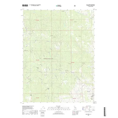
2018 Map of Riley Ridge
USGS Topo · Published 2018About this map
Mendocino National Forest dominates this landscape in Tehama County, where a complex network of forest routes and ridgelines defines the interior. The map details an intricate series of high-altitude features like Eagle Peak and Brush Mtn, alongside specific points of interest such as Whiskey Saddle and Beehive Flat. Local transport is anchored by the Tehema Co. Road (Toomes Camp), which serves as a primary artery through this varied terrain.
Find a feature on this map
56 named features on this map. Tap any name to fly to it.
Don’t see what you’re looking for? This feature index may not catch every label — zoom into the map to look around manually.
Map Details
Editions of this 2018 Riley Ridge Map
This is the sole edition of this map. No revisions or reprints were ever made.
Other maps of this area

1890 · Red Bluff
USGS Topo · 1:250,000

1894 · Red Bluff
USGS Topo · 1:250,000

1949 · Colyear Springs
USGS Topo · 1:62,500

1952 · Paskenta
USGS Topo · 1:62,500

1952 · Anthony Peak
USGS Topo · 1:62,500

1954 · Yolla Bolly
USGS Topo · 1:62,500

1957 · Colyear Springs
USGS Topo · 1:62,500

1957 · Ukiah
USGS Topo · 1:250,000

1958 · Redding
USGS Topo · 1:250,000

1960 · Ukiah
USGS Topo · 1:250,000